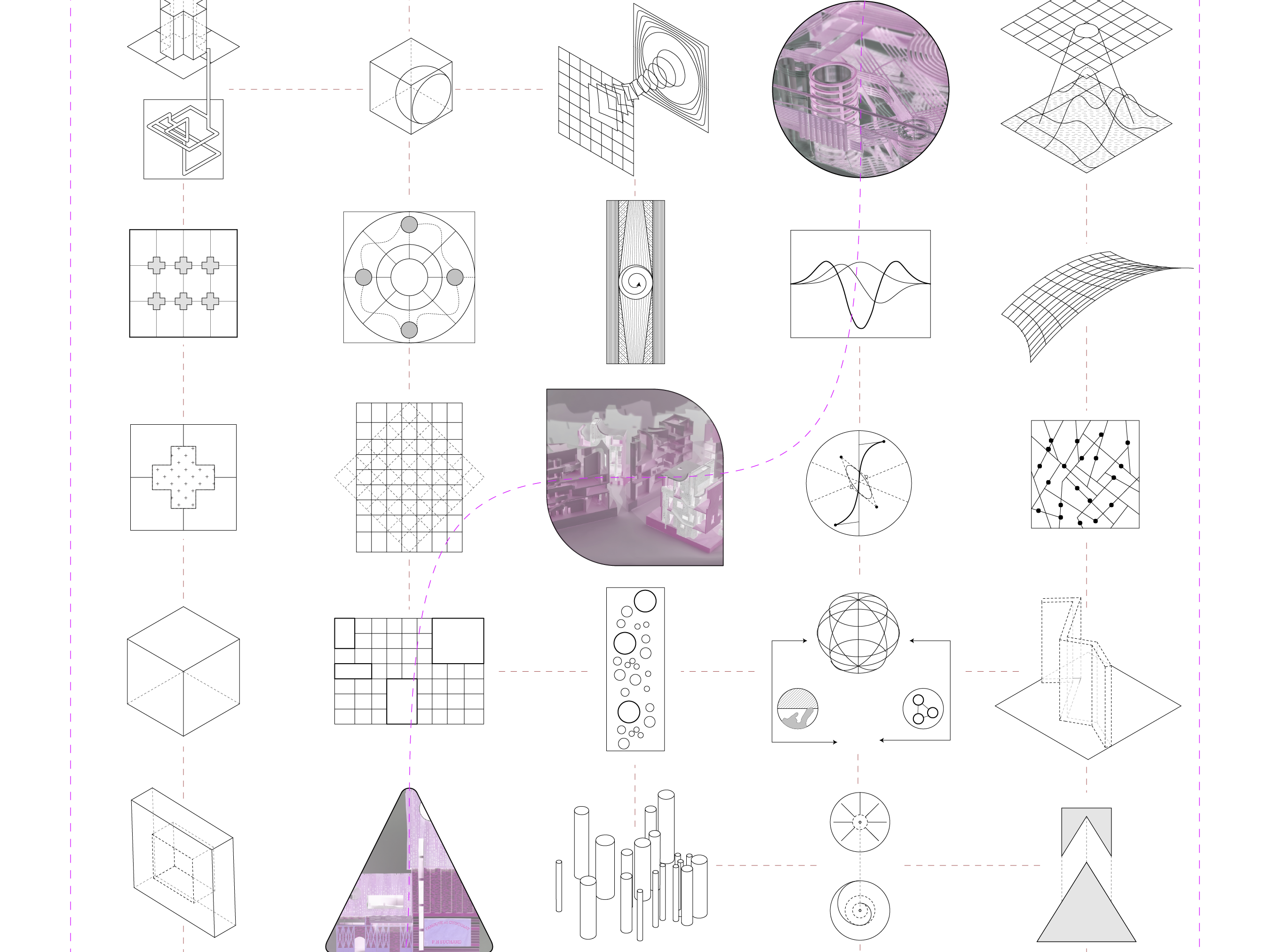
Just as St. Louis sits as the confluence of the Mississippi and Missouri Rivers, this project stimulates the confluence of the watershed, civic-shed, and geologic-shed into a nuanced industrial-like typology in an effort to close the long-neglected loop between St. Louis’ Arch grounds, the American Bottom, and the neighboring bridges. By catapulting geological time into the contemporary realm and examining novel geophysical systems, the project puts forth an urban vision for East St. Louis that is accessible, resilient, and systematic, enabling each “shed” to reinforce its counterparts. By methodically analyzing historical and scientific information along with the formation of an abstract data set generated through the study of watercolor and its inherent hydrostatic pressure, a hybridized, paradoxical condition emerges that manifests into the mile-long structural proposal.
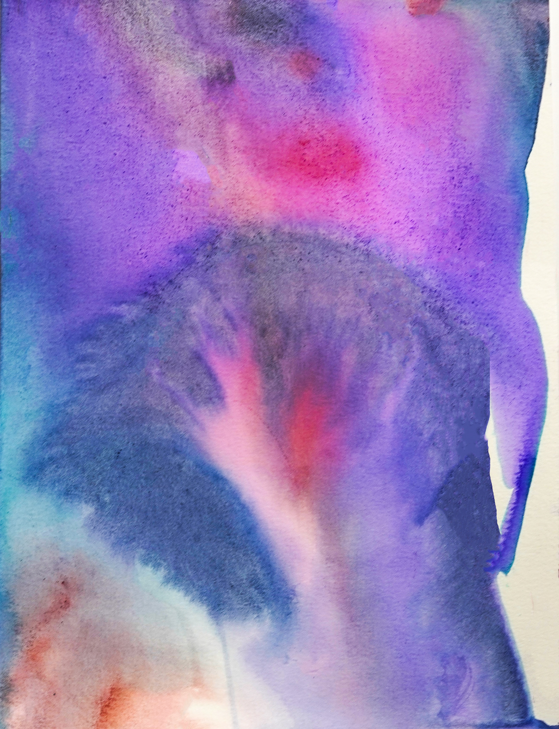
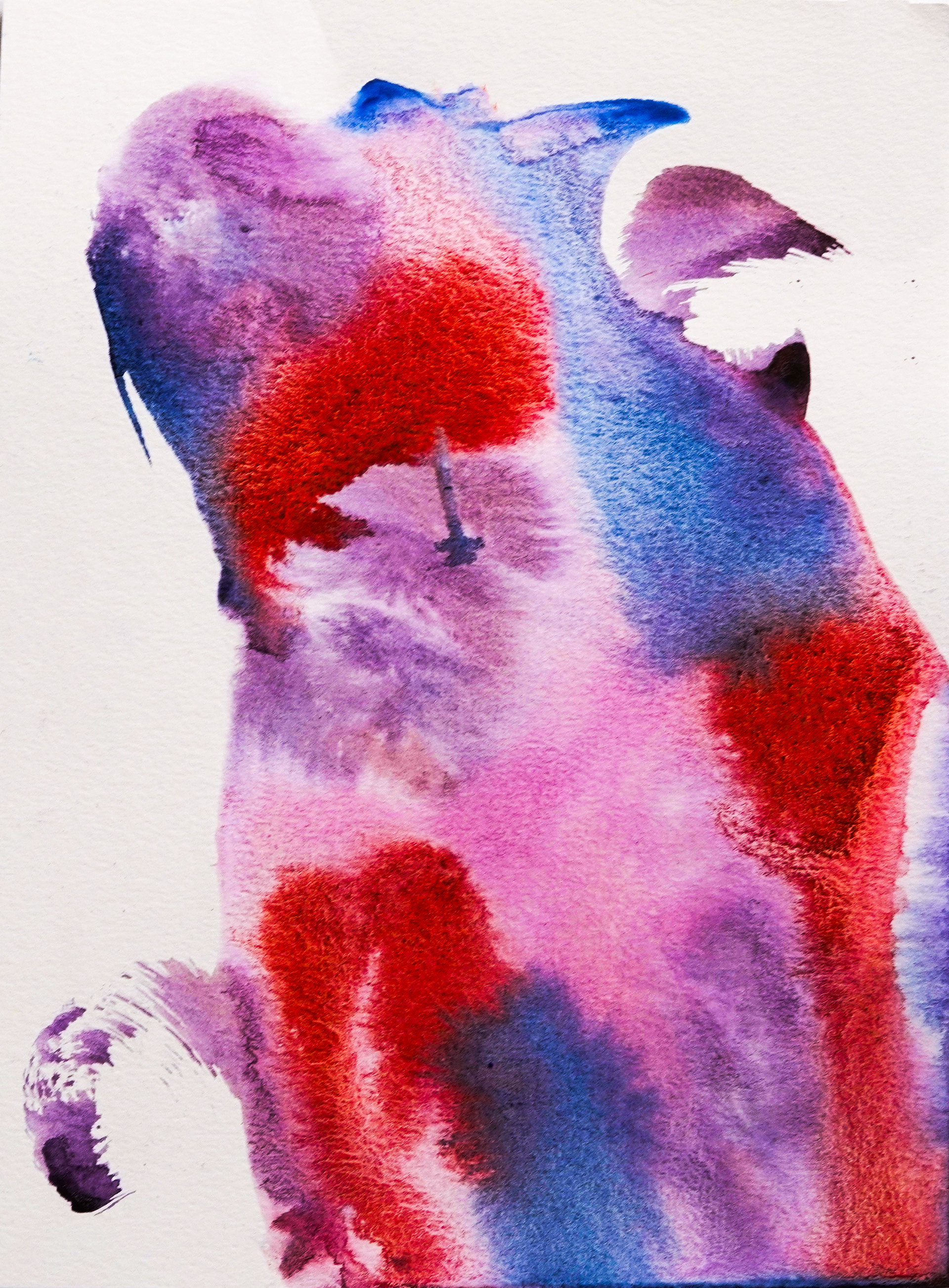

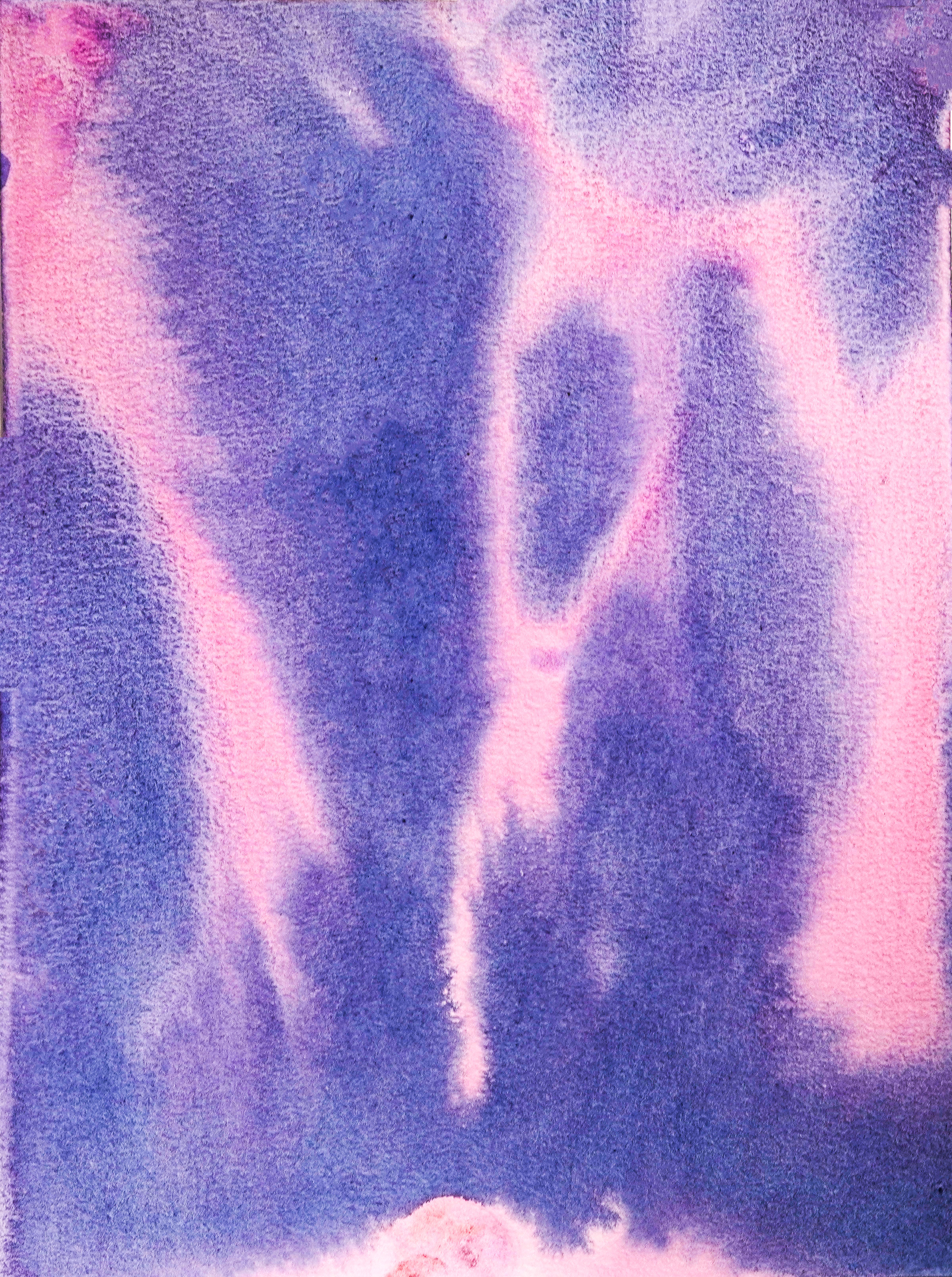

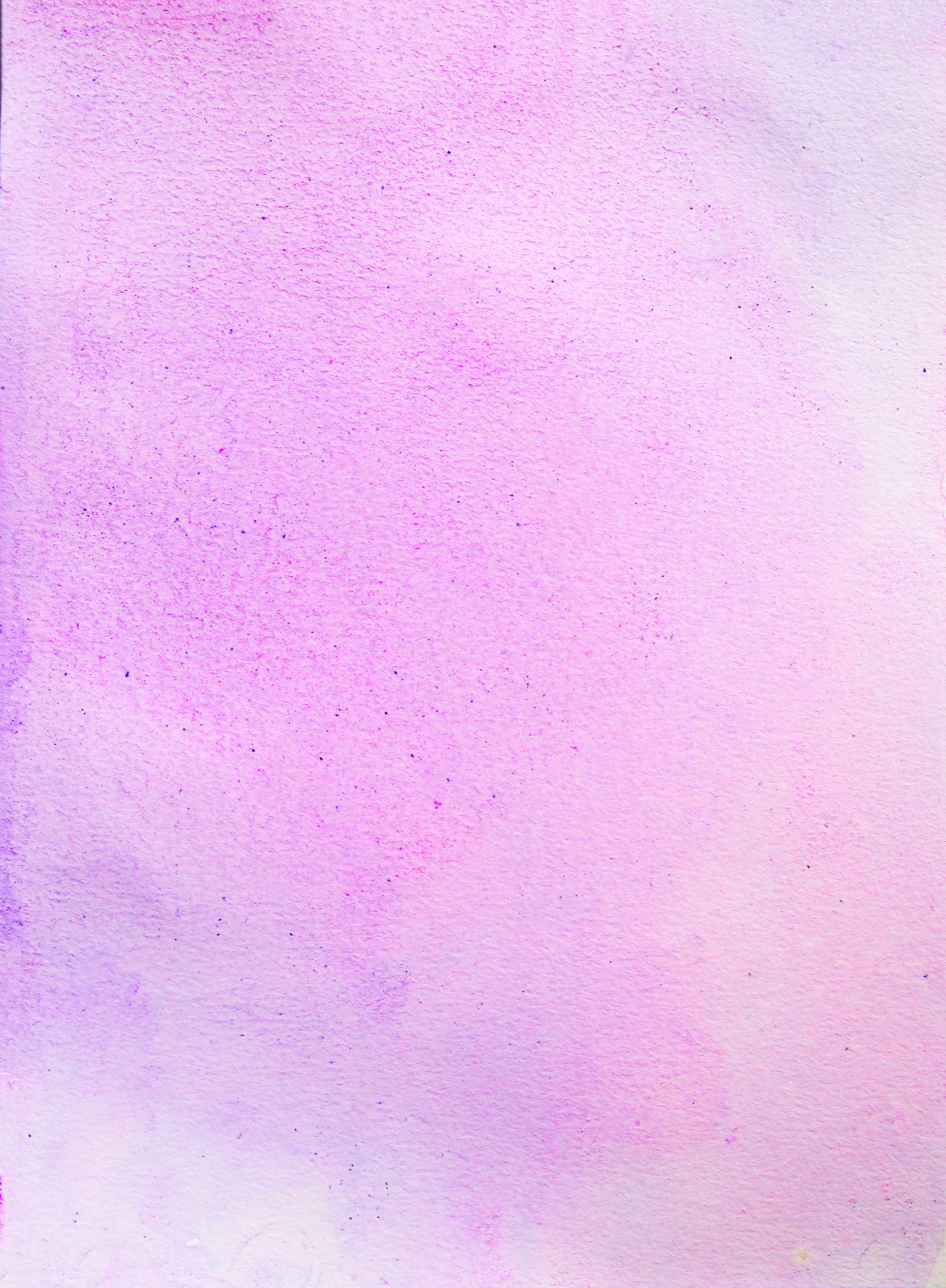
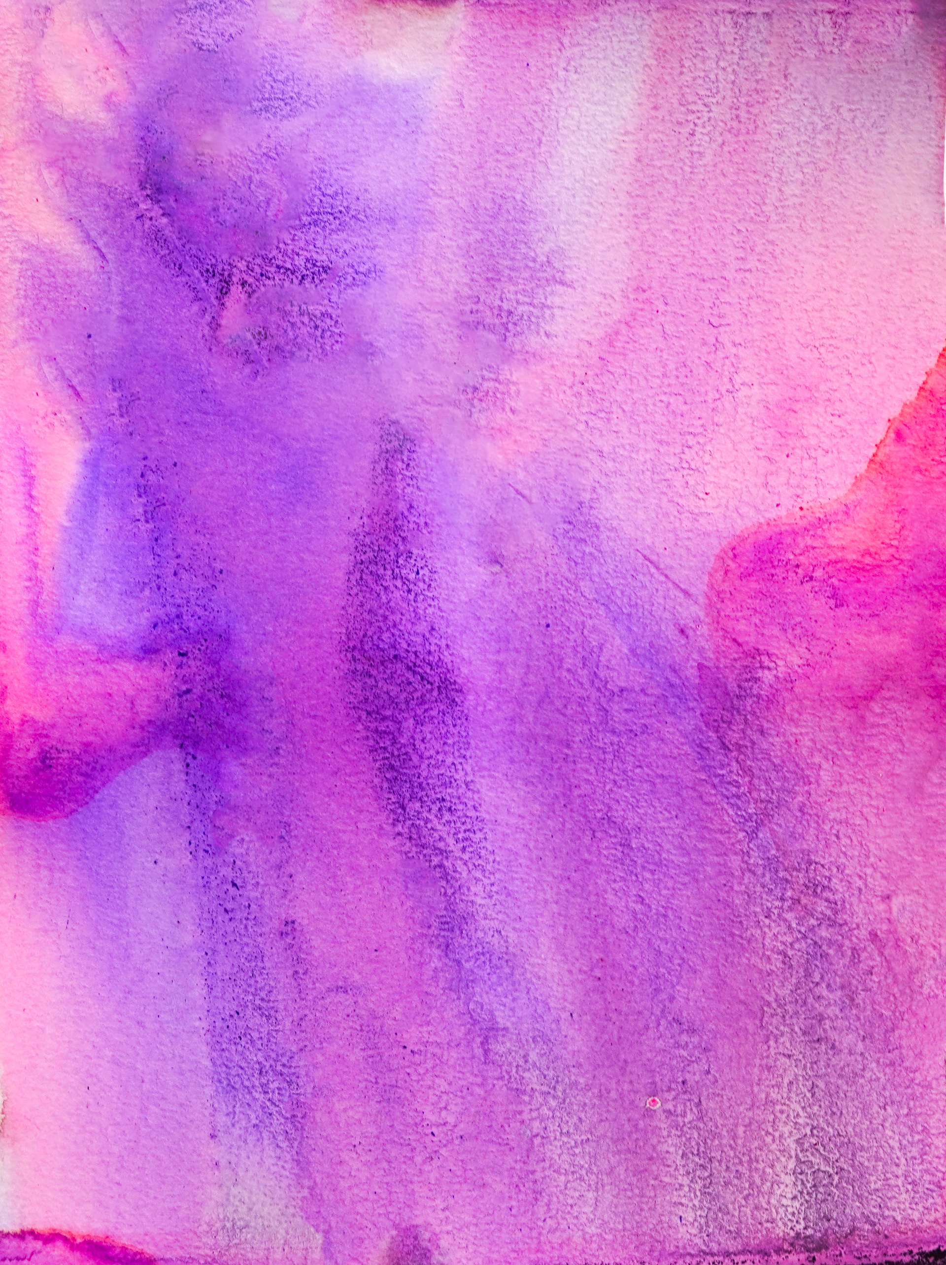
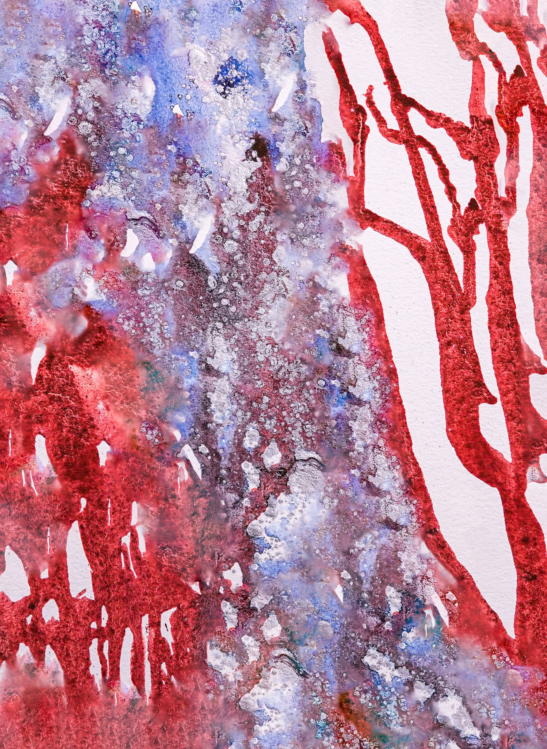
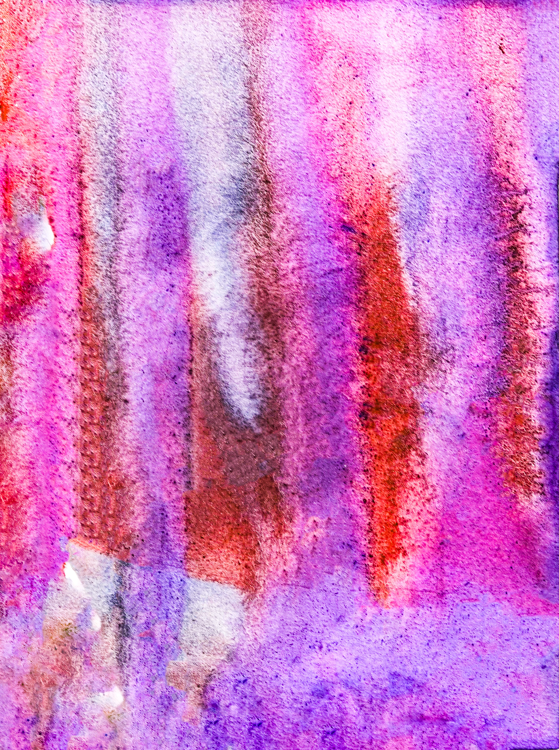

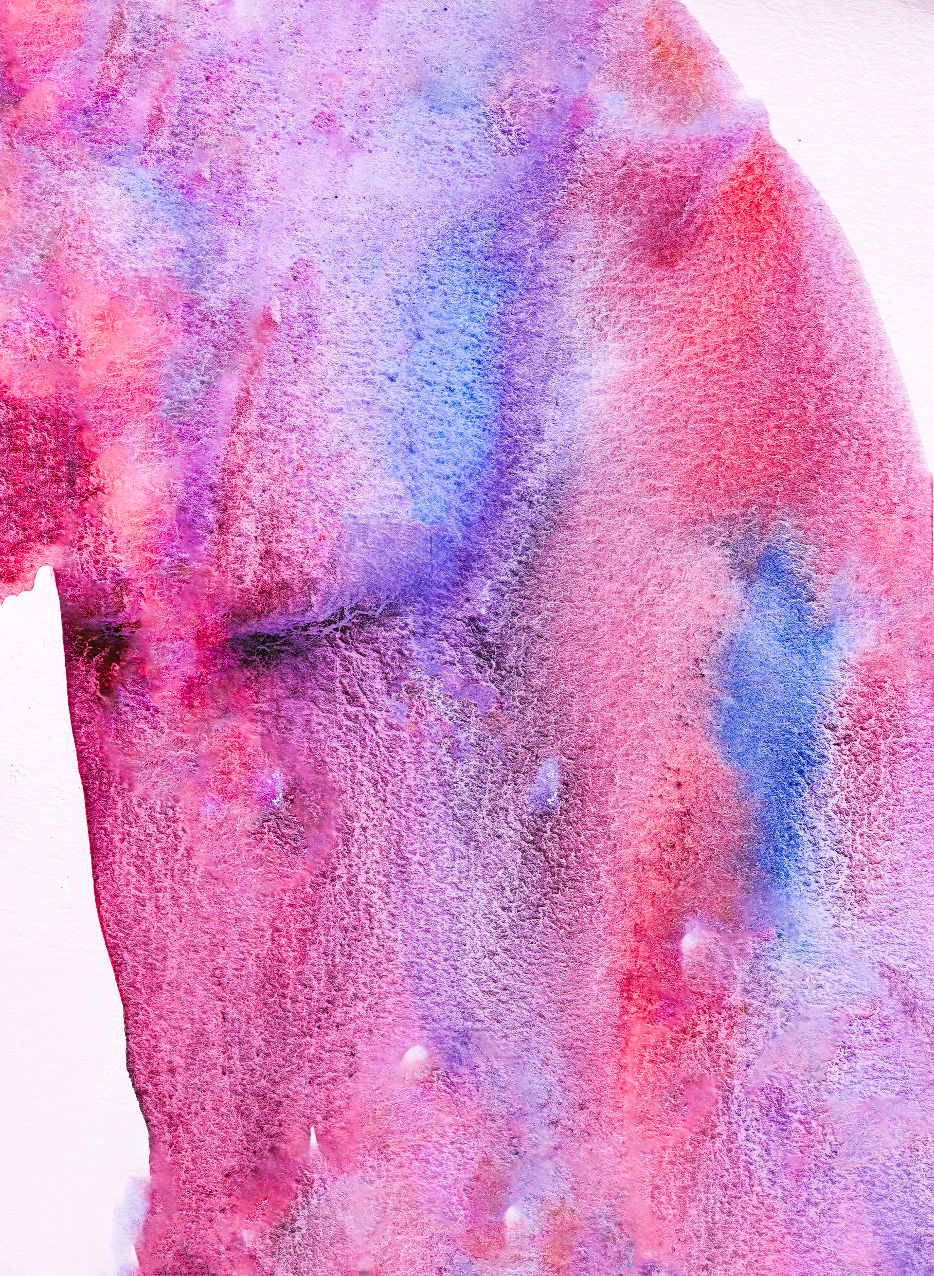


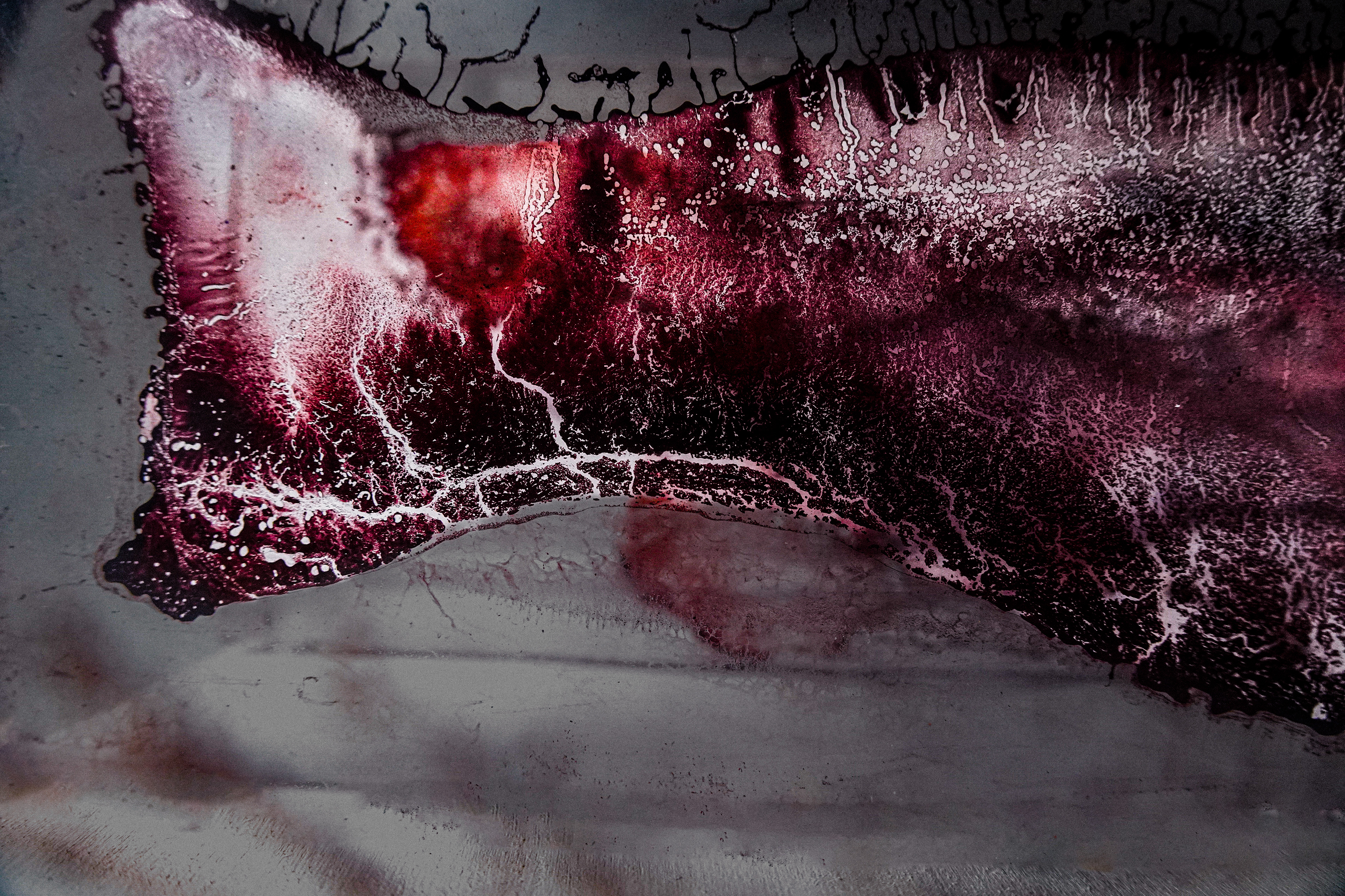
Initial watercolor studies describe the experimental and experiential qualities of the Mississippi River
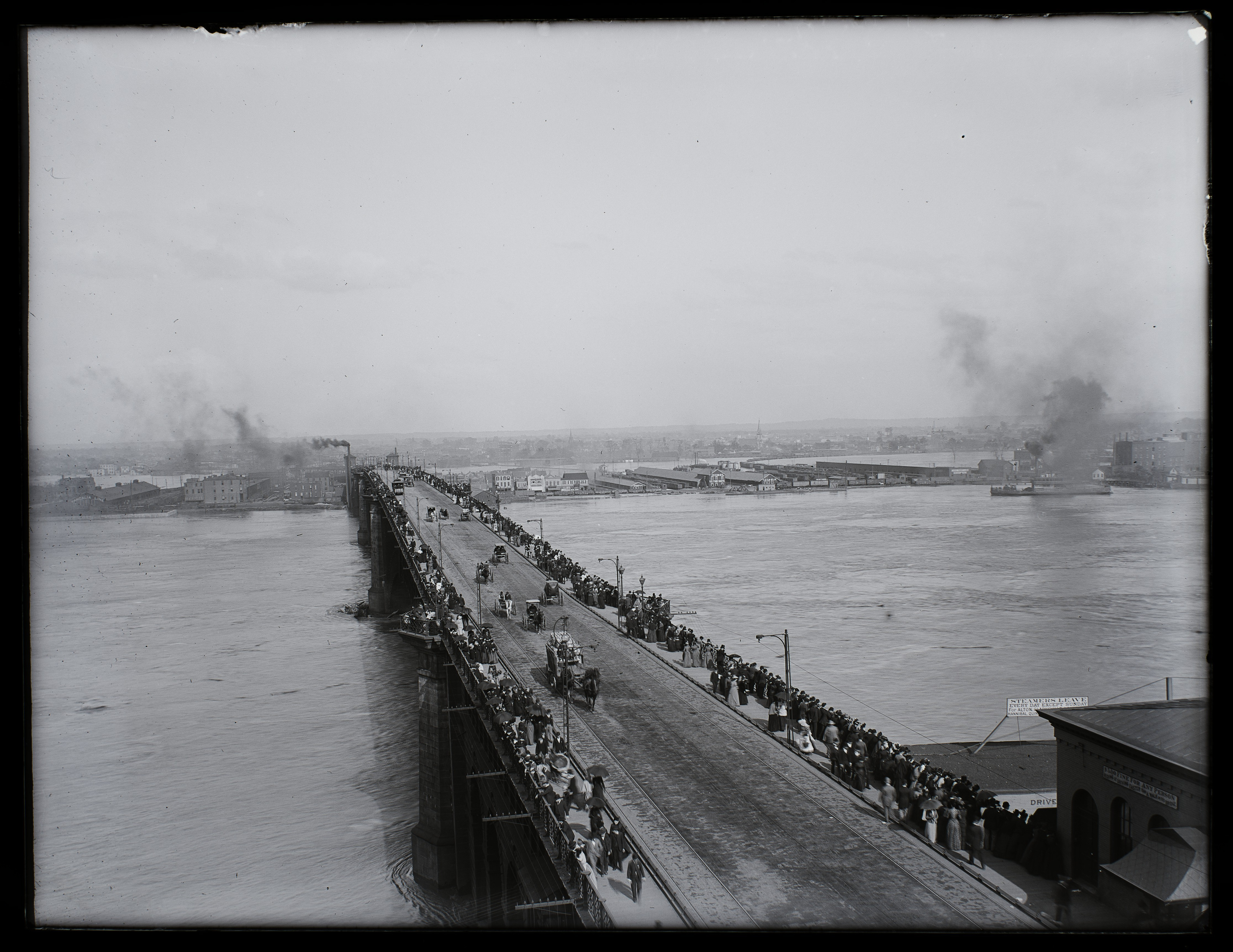
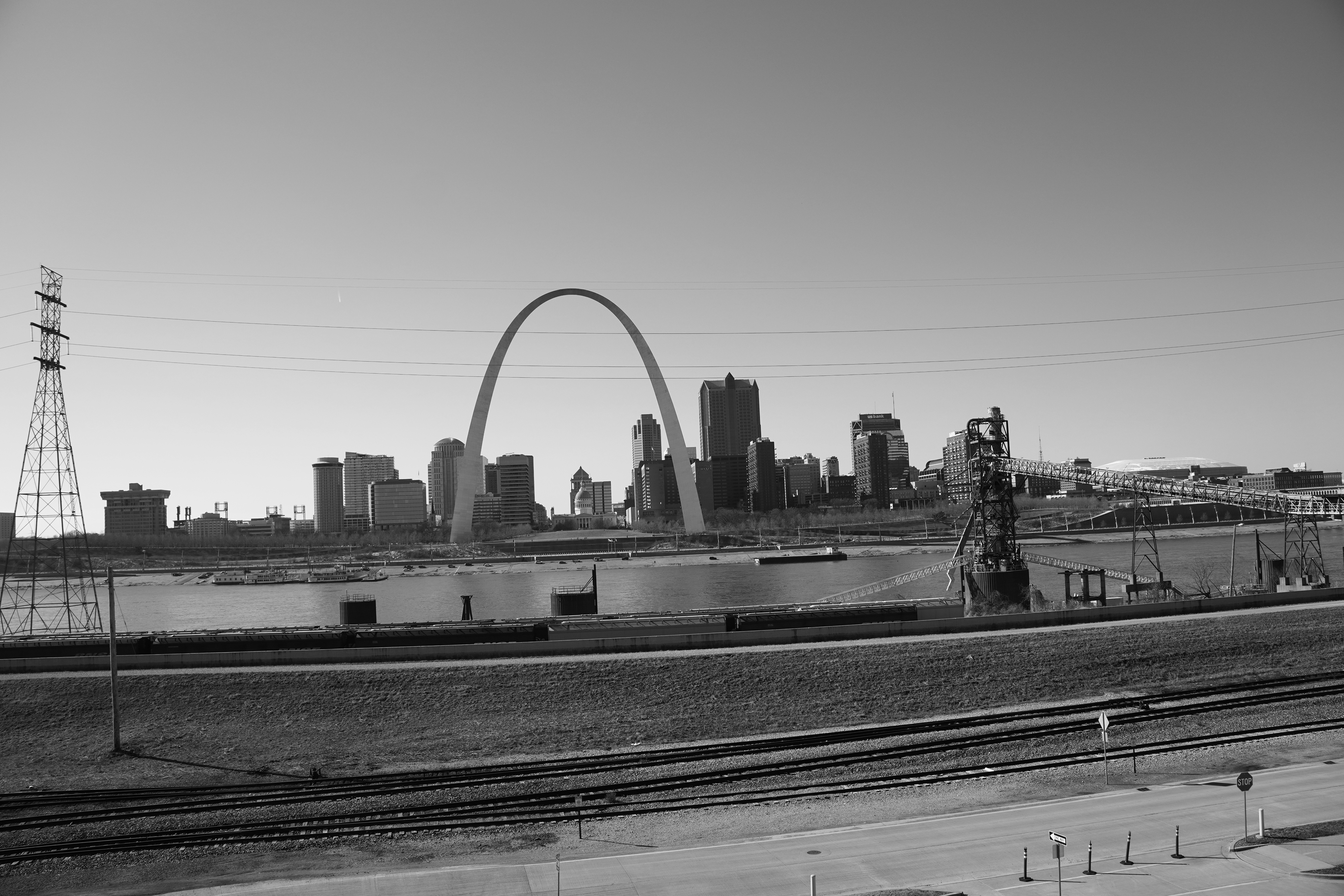
Eads Bridge, 1874
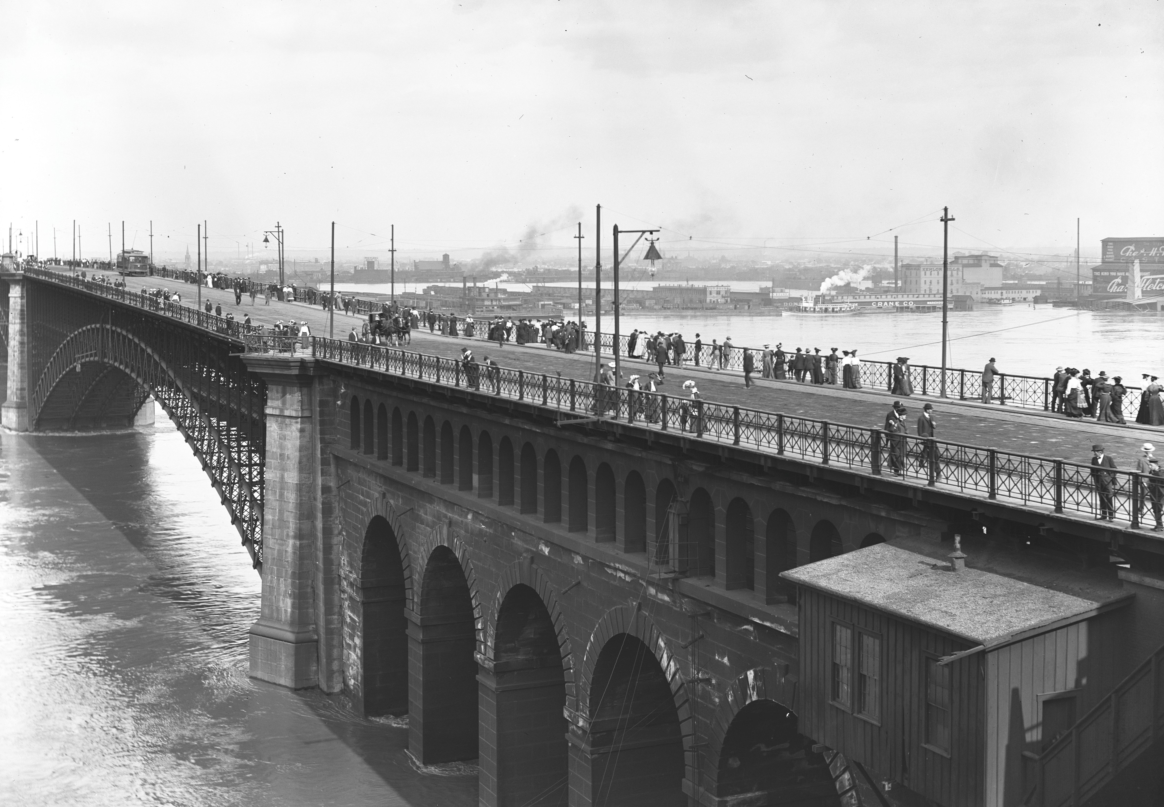
MacArthur Bridge, 1917
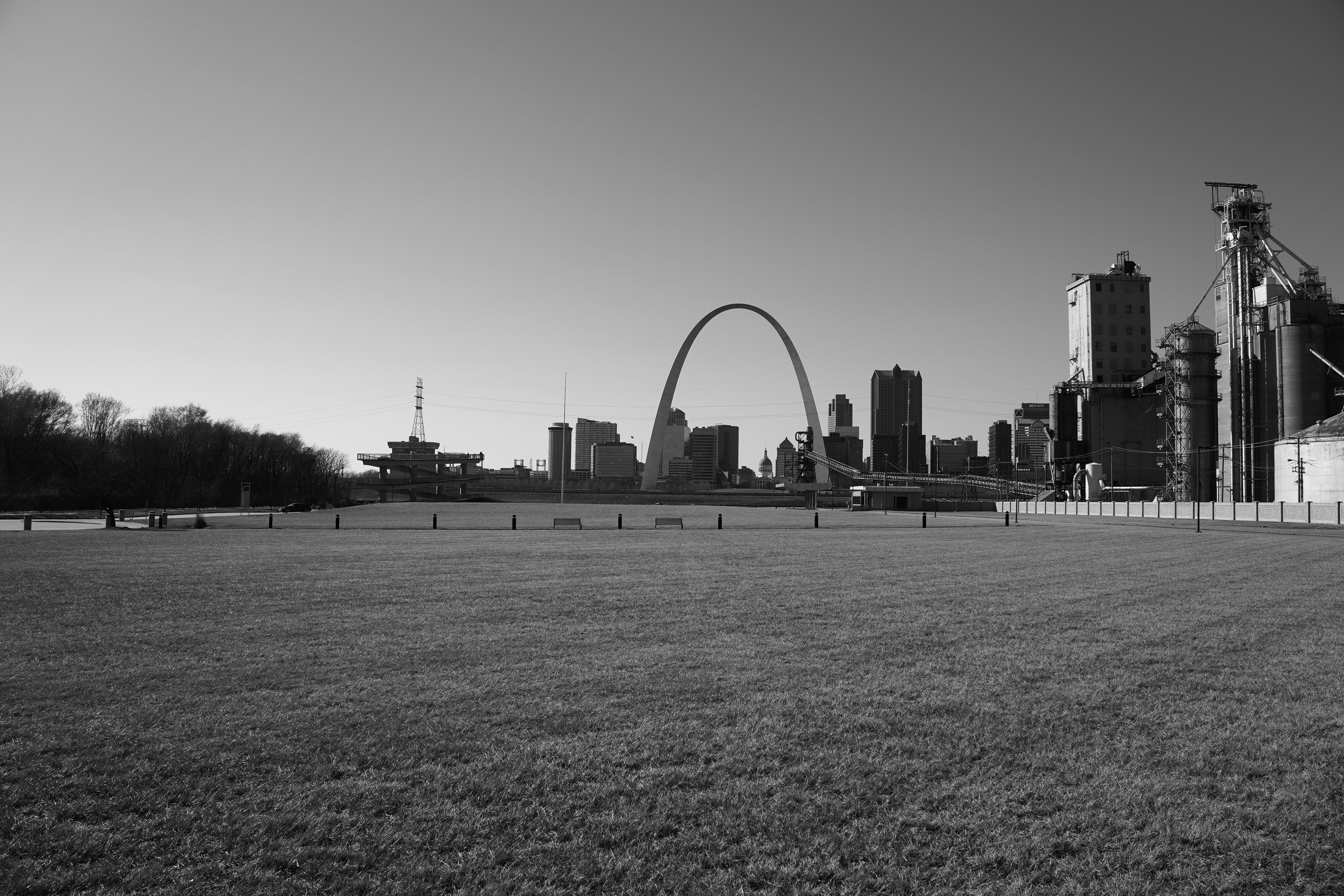
East St. Louis, 2024
East St. Louis, 2024
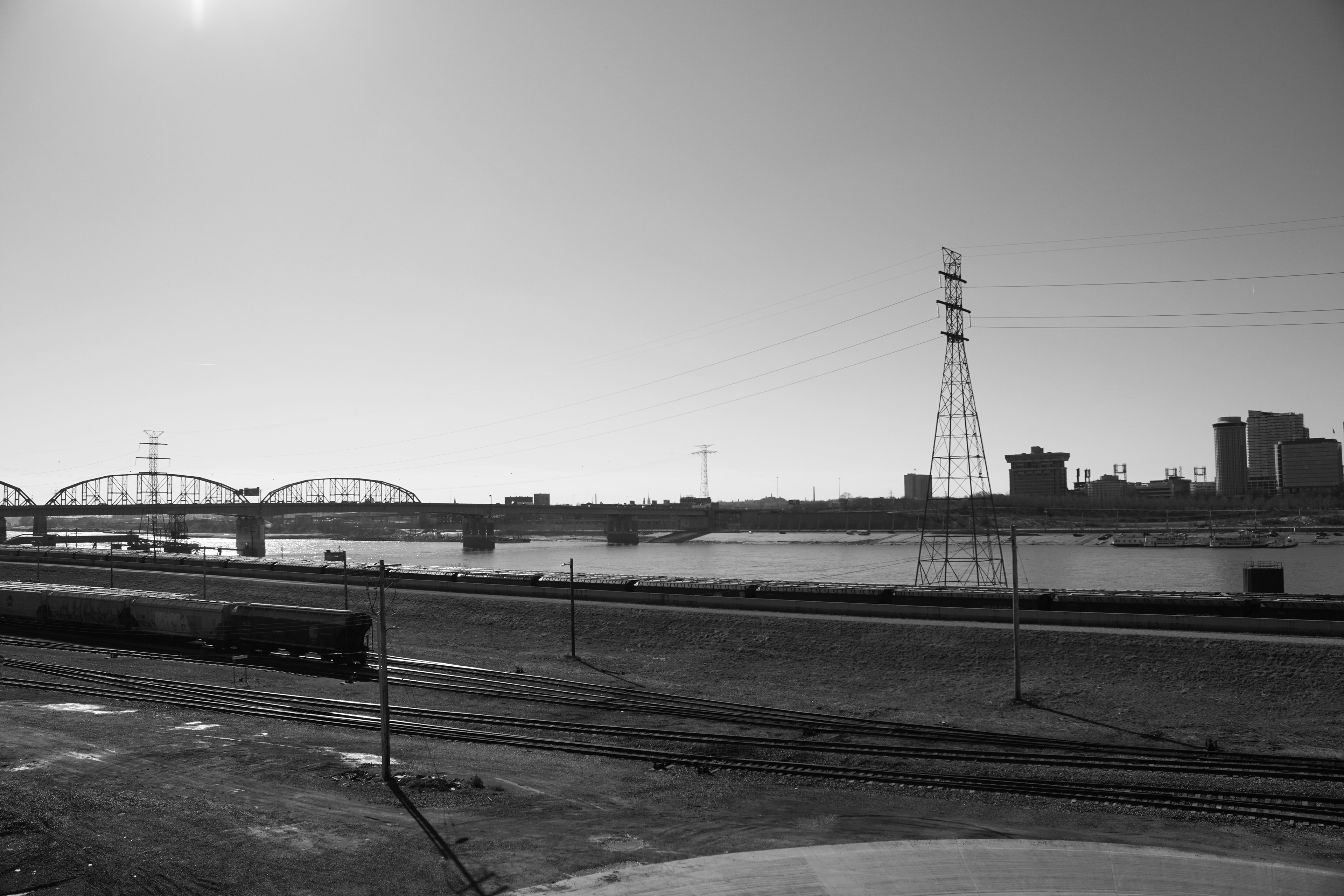
East St. Louis, 2024
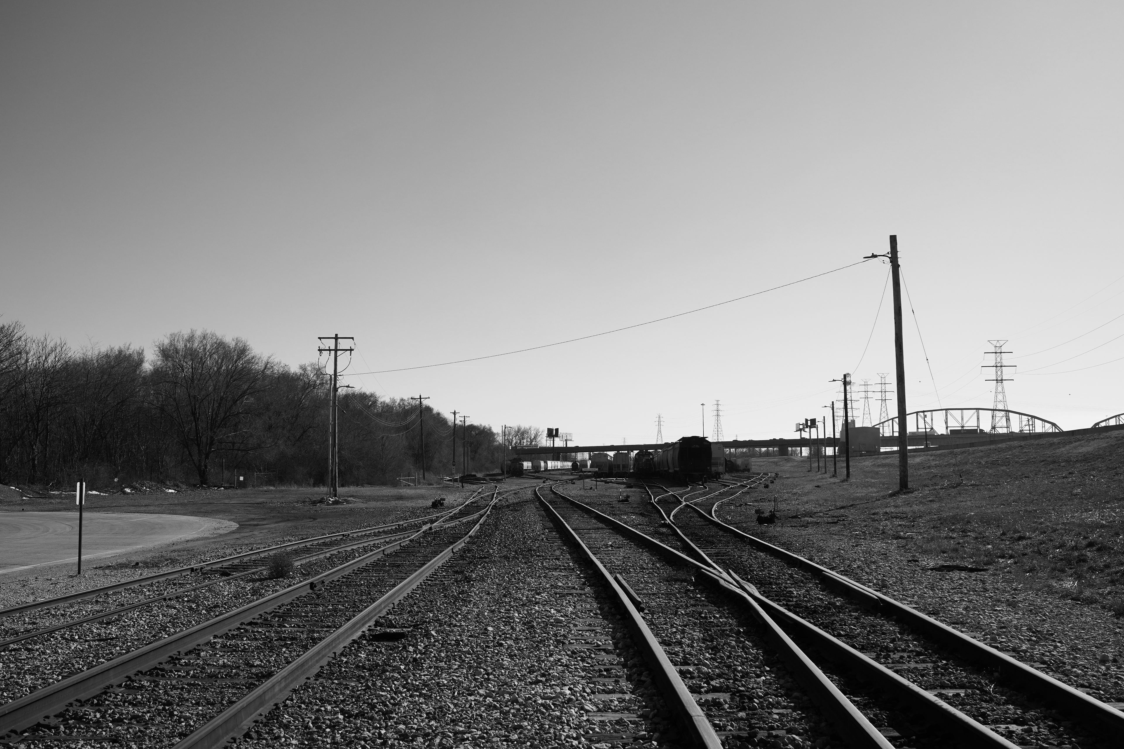
East St. Louis, 2024
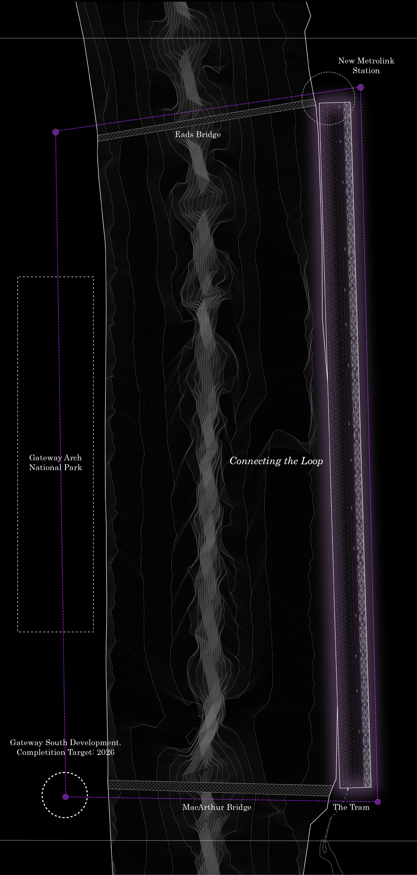
The Mississippi River fractures the urban fabric of St. Louis, rendering a portion of the city nearly abandoned and highly underutilized with the exception of asphalt roads and the occasional building.
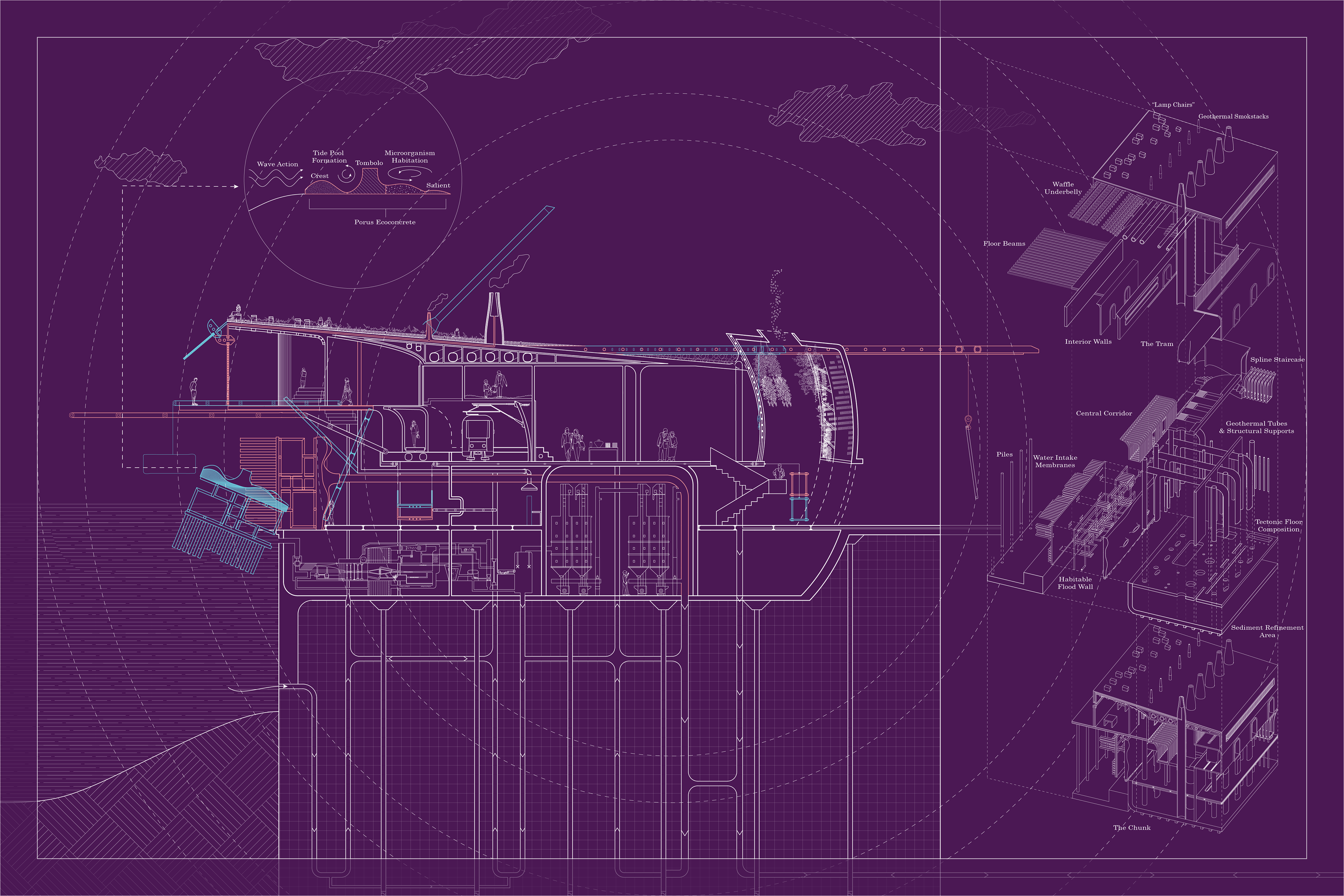
But the river also unites the city spatially and culturally, serving as the historical and economic nexus of St. Louis. Water is then employed as an active agent through the design of a new circular process of sediment refinement, linking the civic and industrial typologies
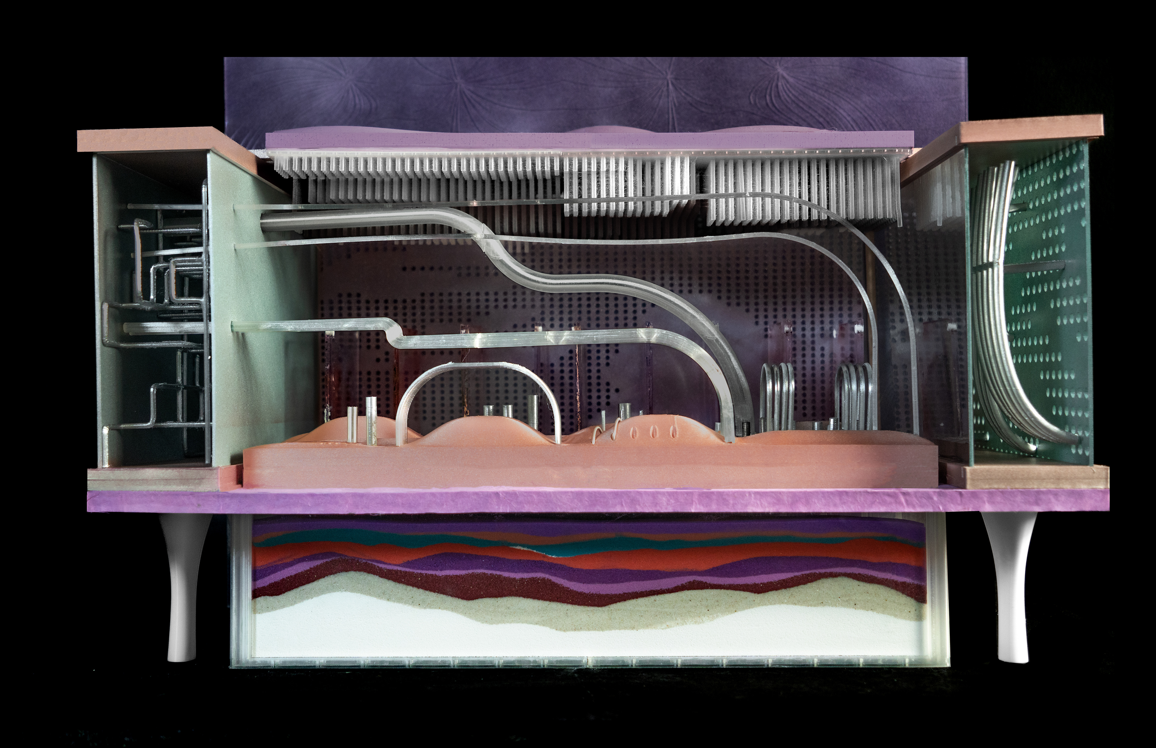
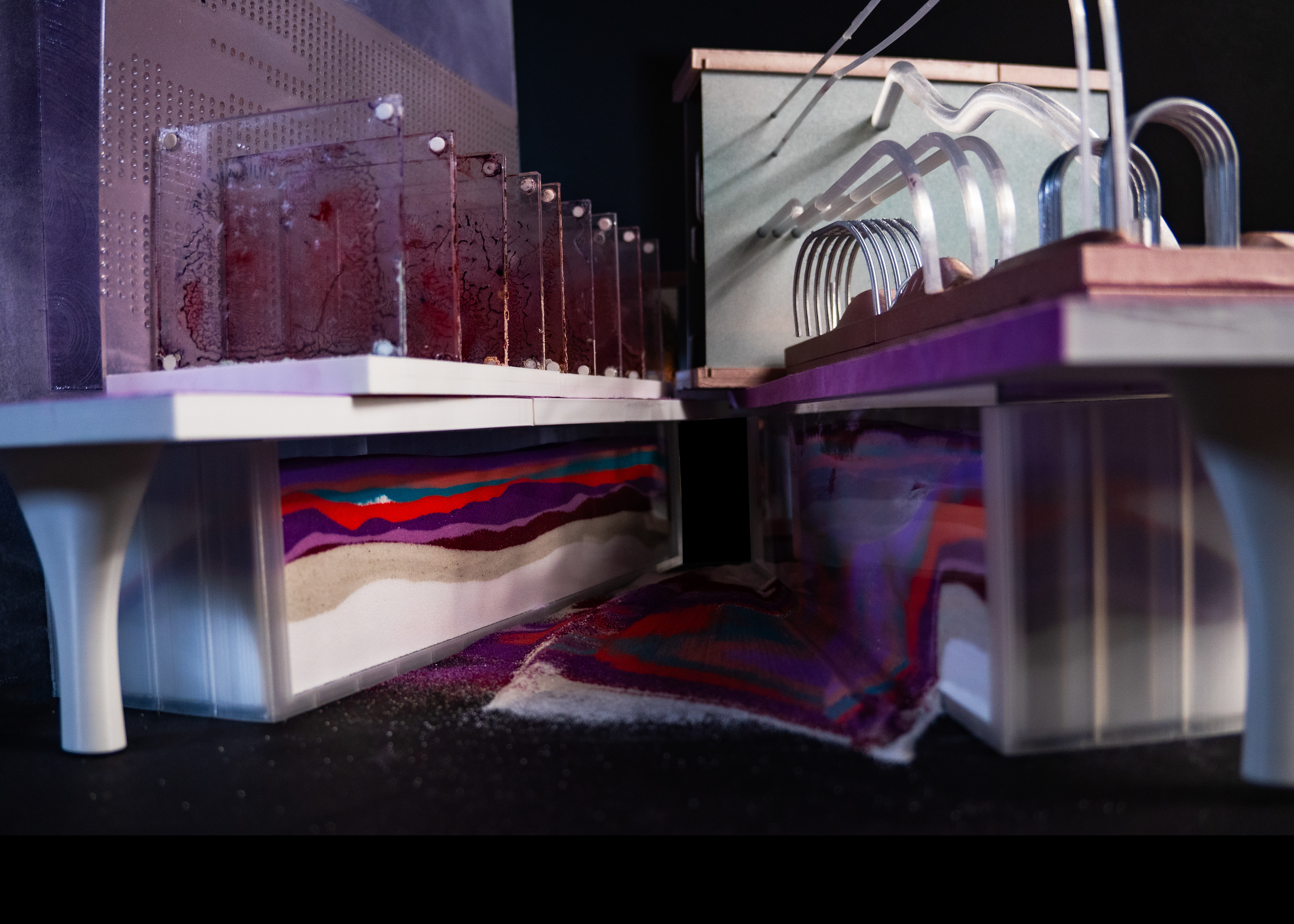
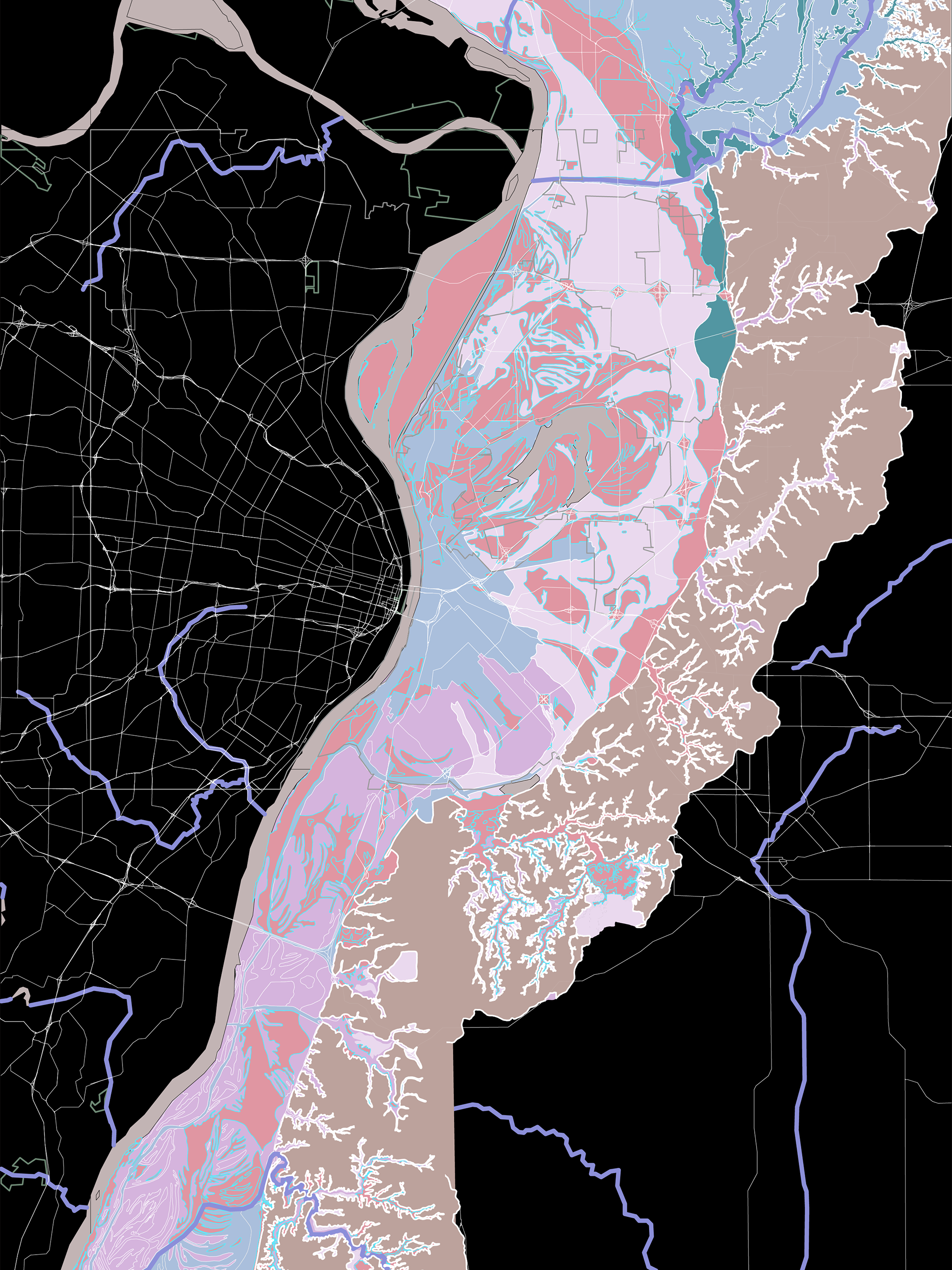
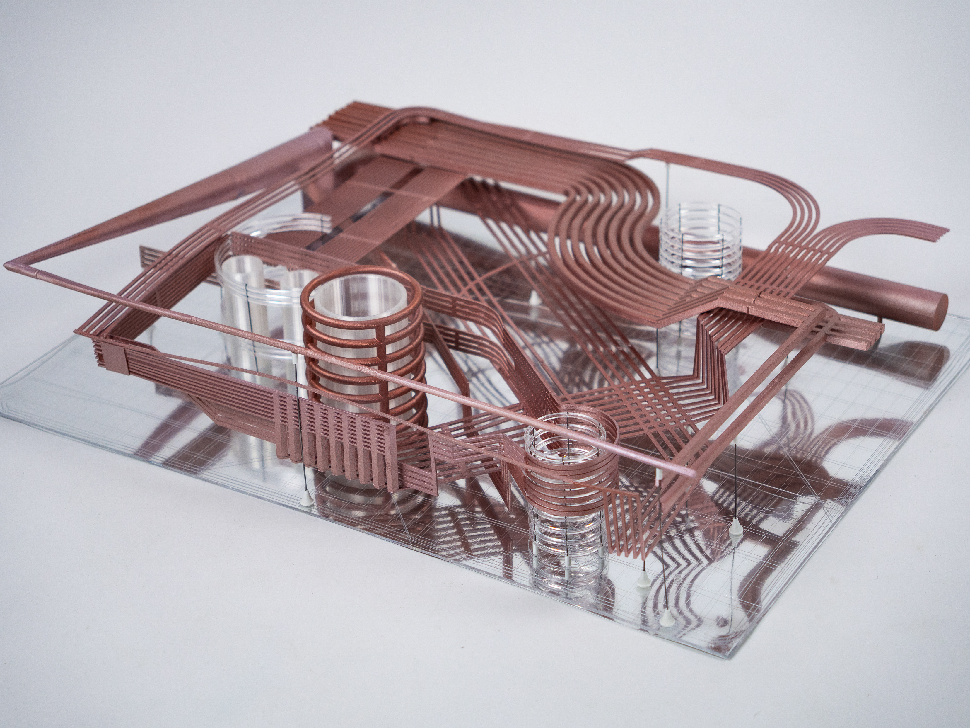
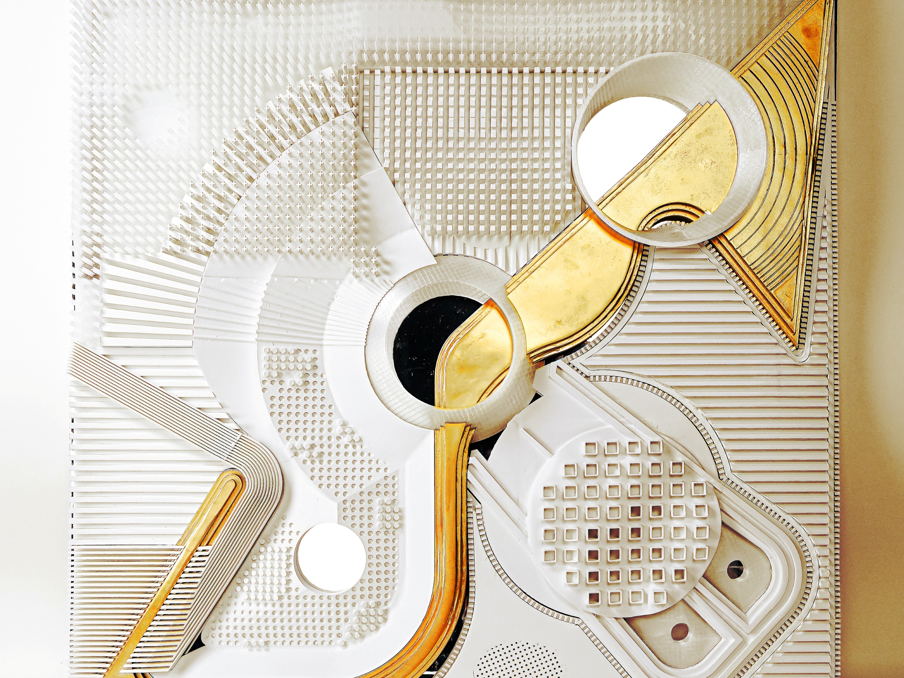
The data model fuses the layered histories of the flood plain below to the material translations of water’s spatial, intensive, and extensive properties above. Topographical extrusions, pipe systems, fields of elements and surfaces of varying material qualities form a cohesive landscape dense with information.
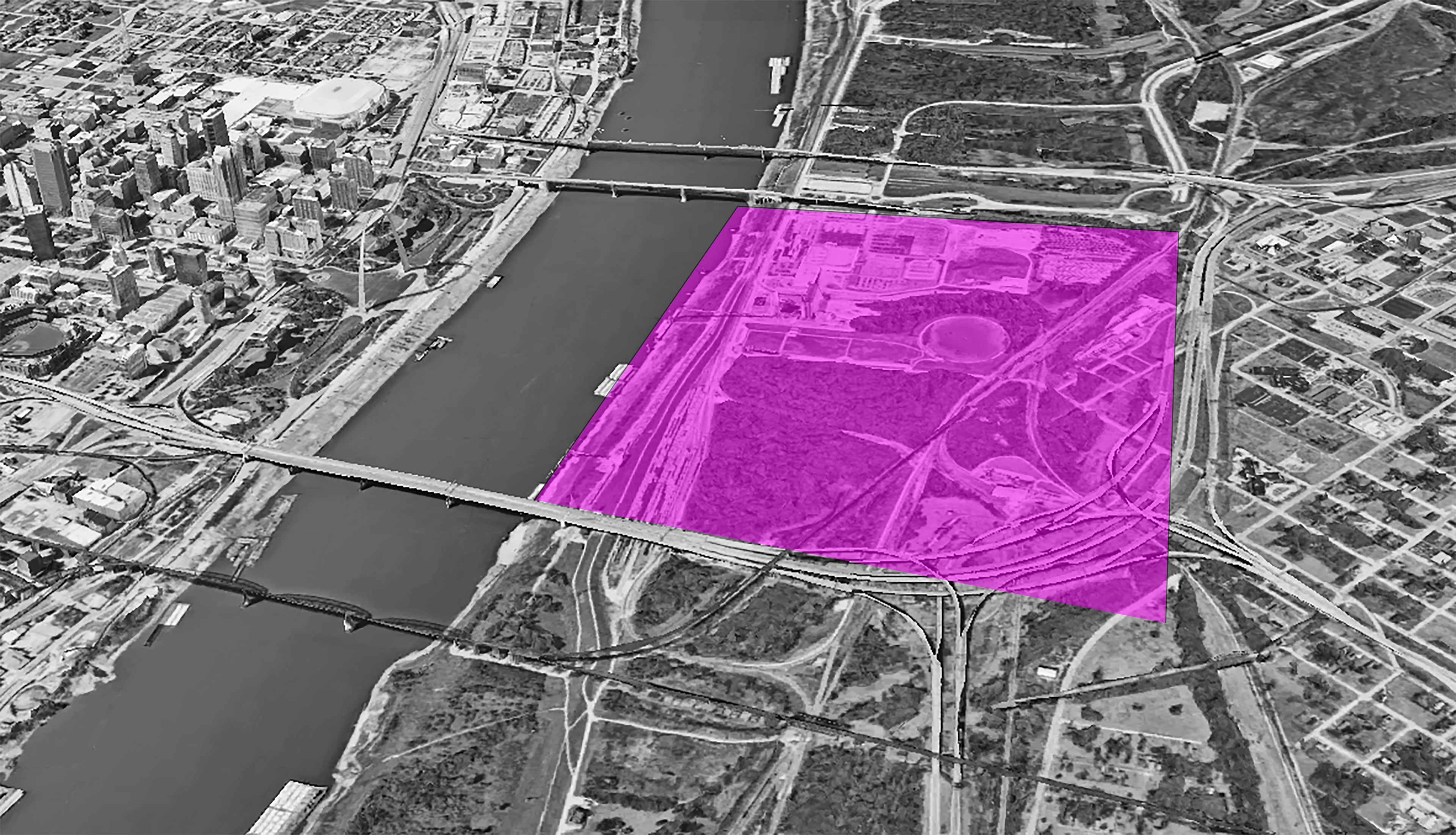
And by mapping the American Bottom across geologic time layers of sediment (silt, loam, and sand) rich with nutrients are revealed, now blanketed by gray infrastructure.
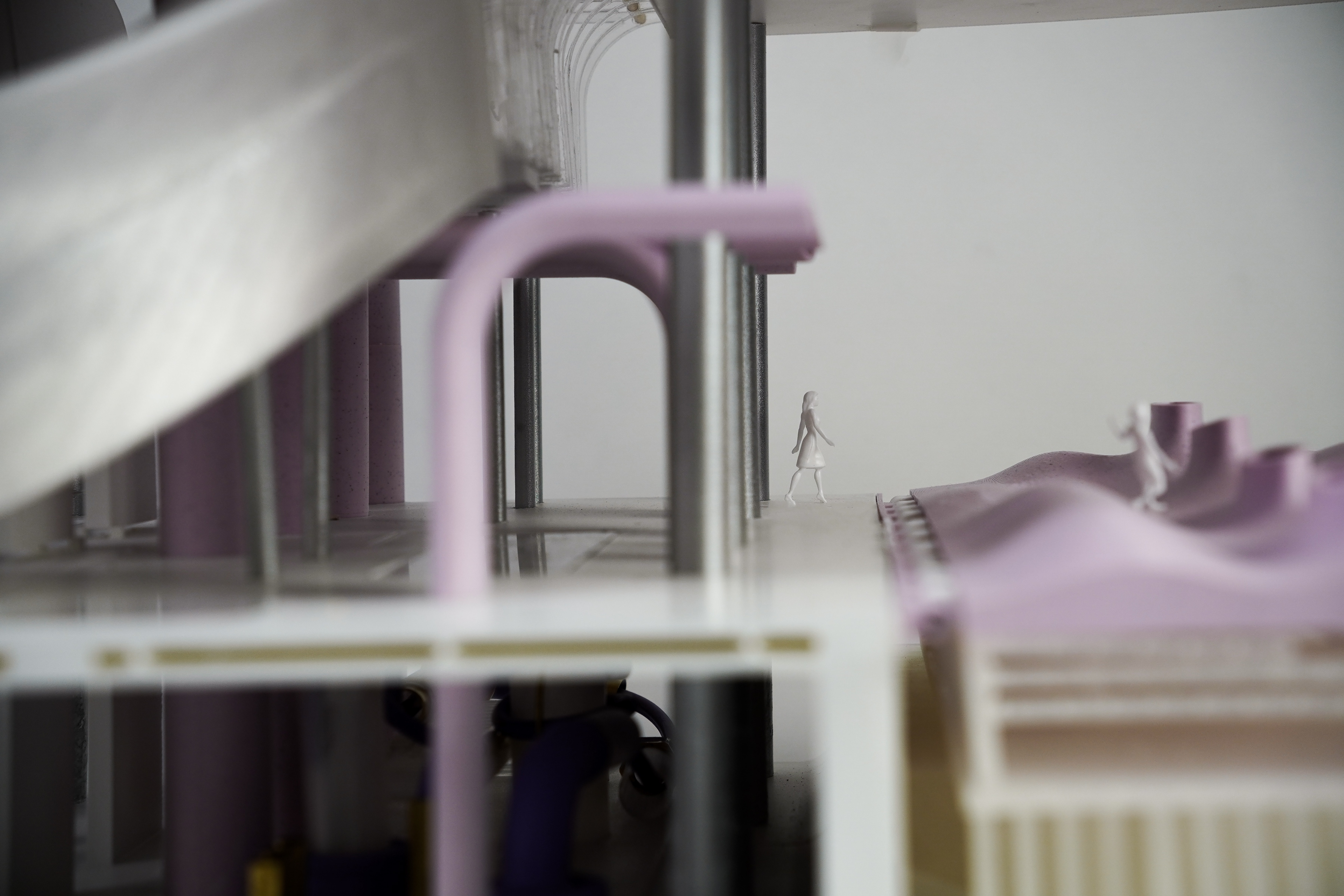
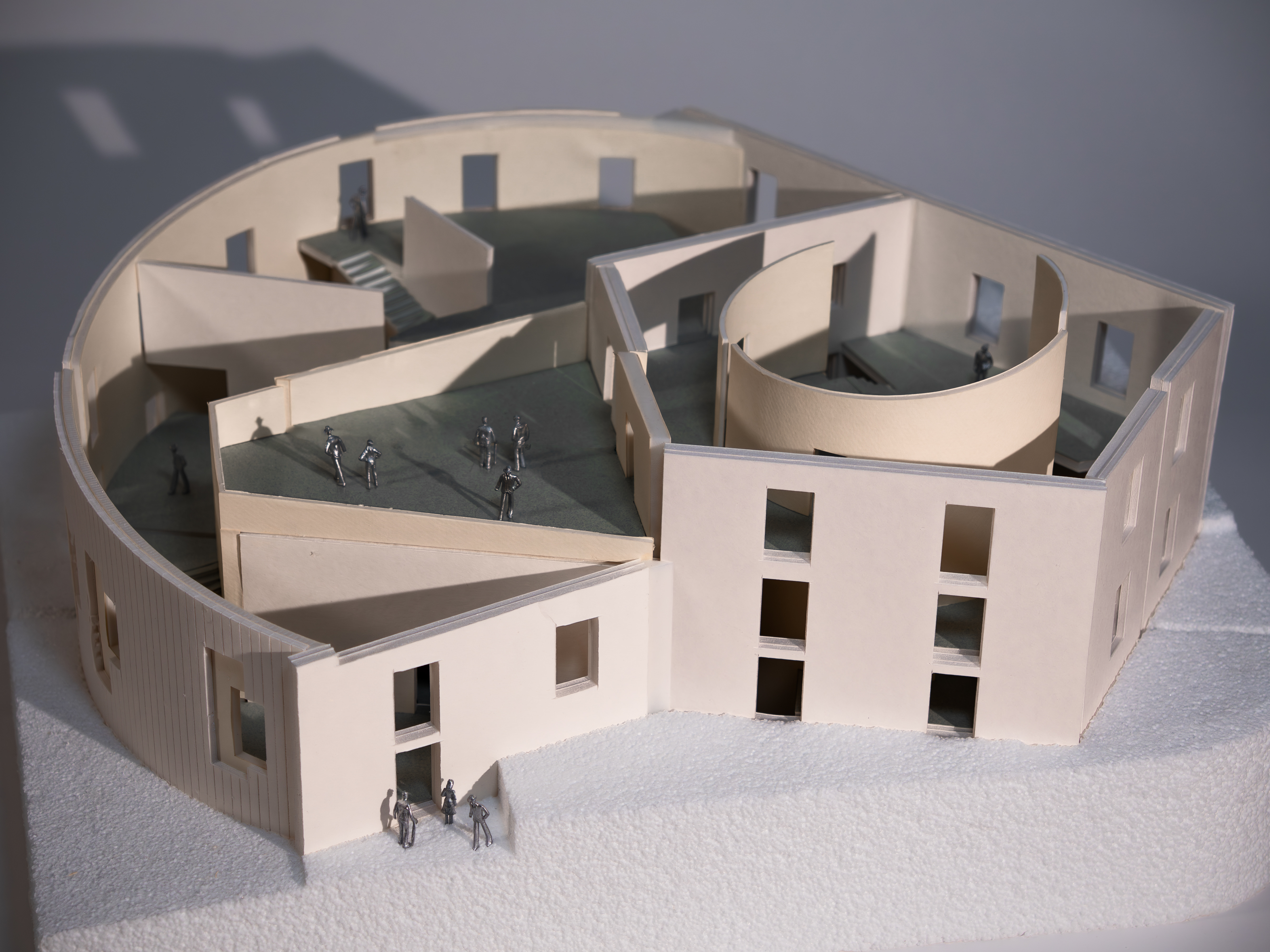
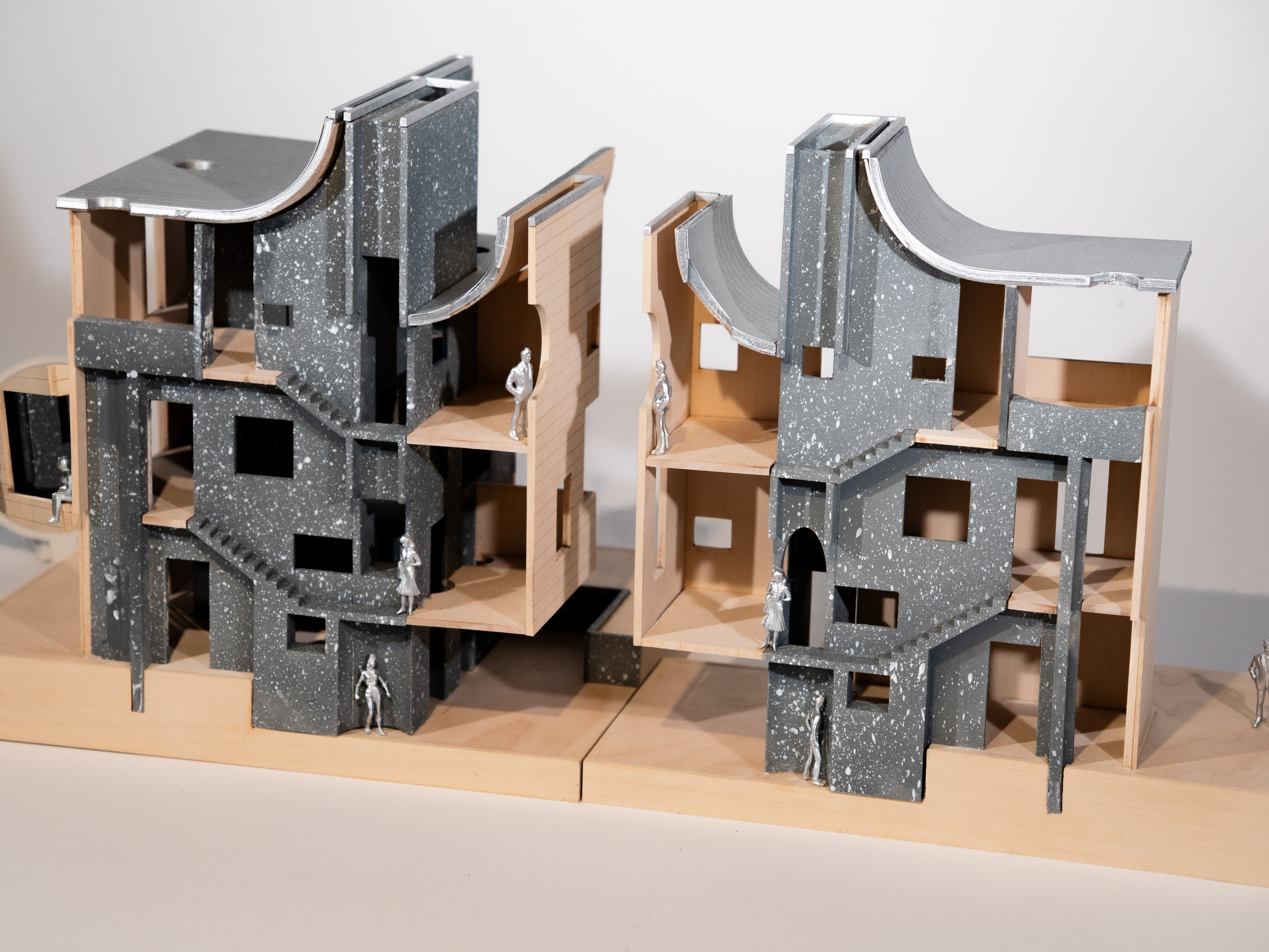
Envisioning the urban and industrial typologies as two distinct yet overlapping mile-long continuum, the adjacencies and overlap between these two concepts thicken, revealing a chunk that is entirely an in-between.
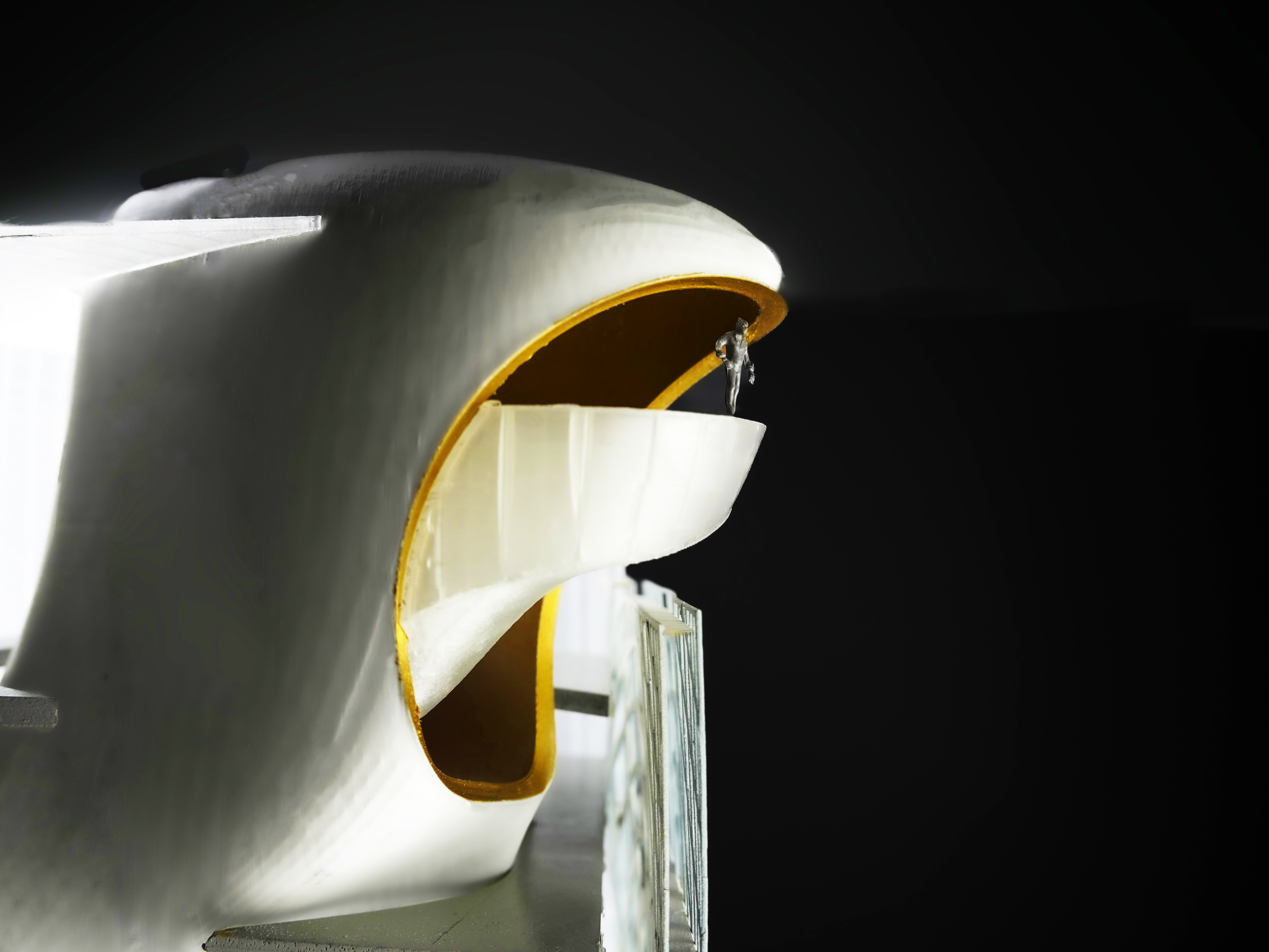
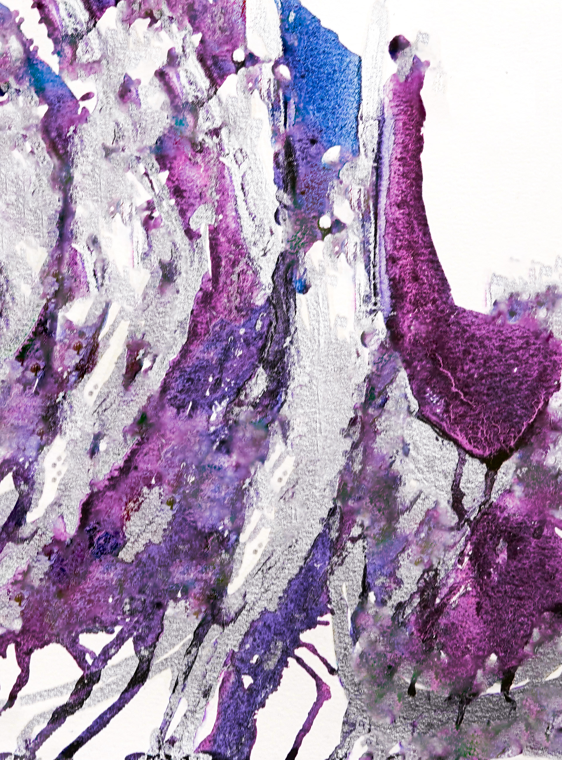
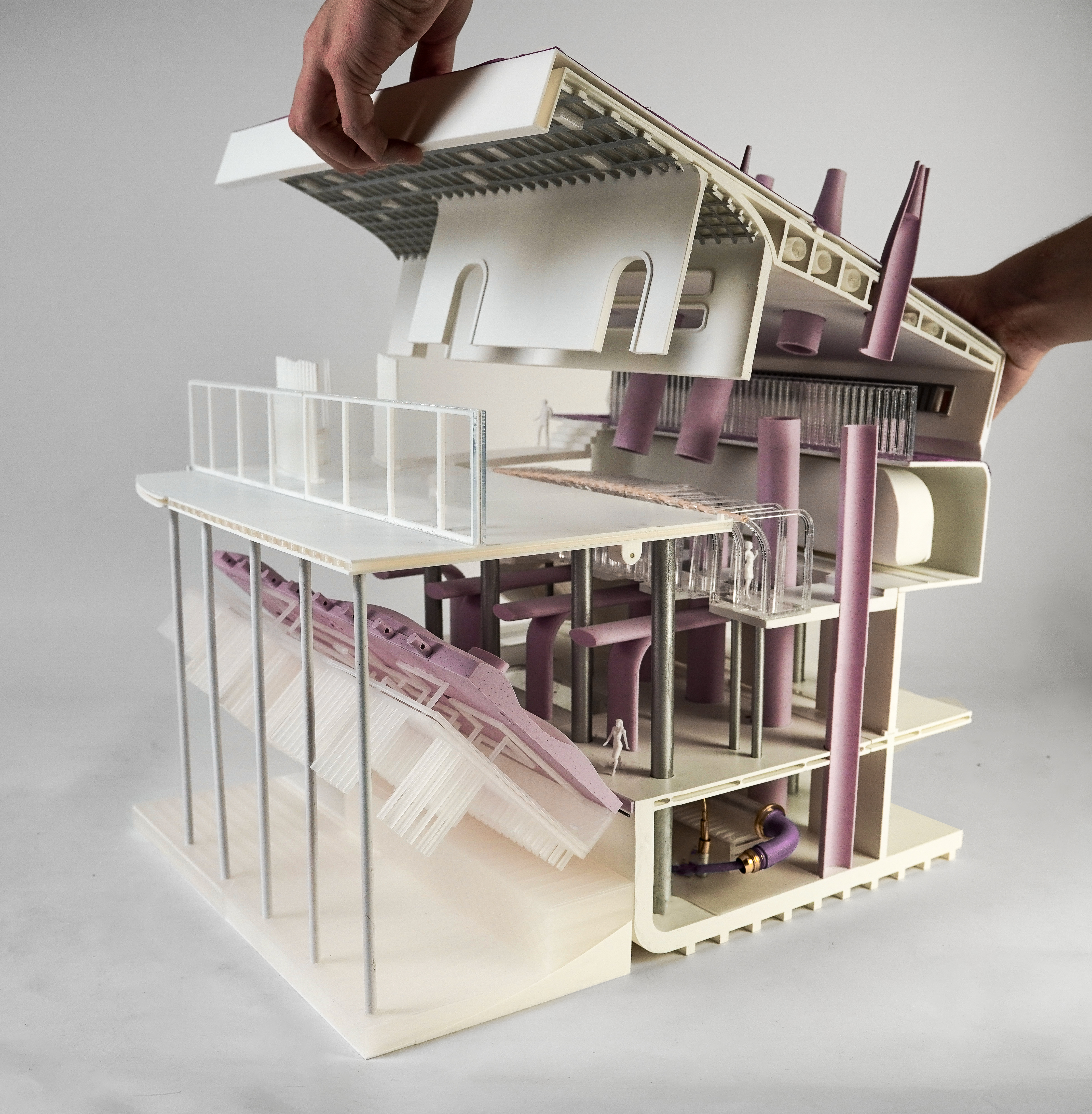
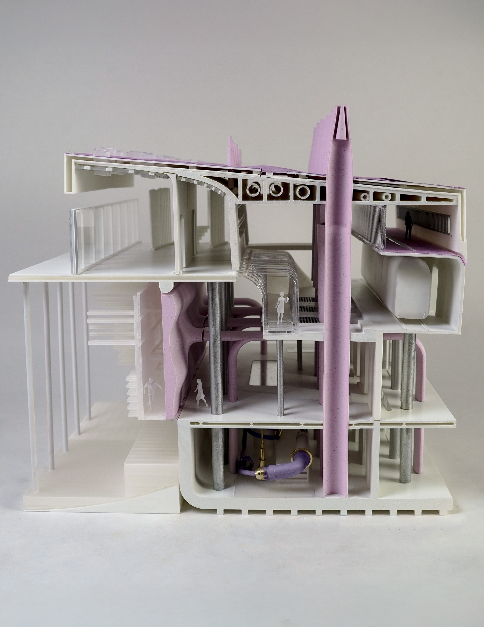
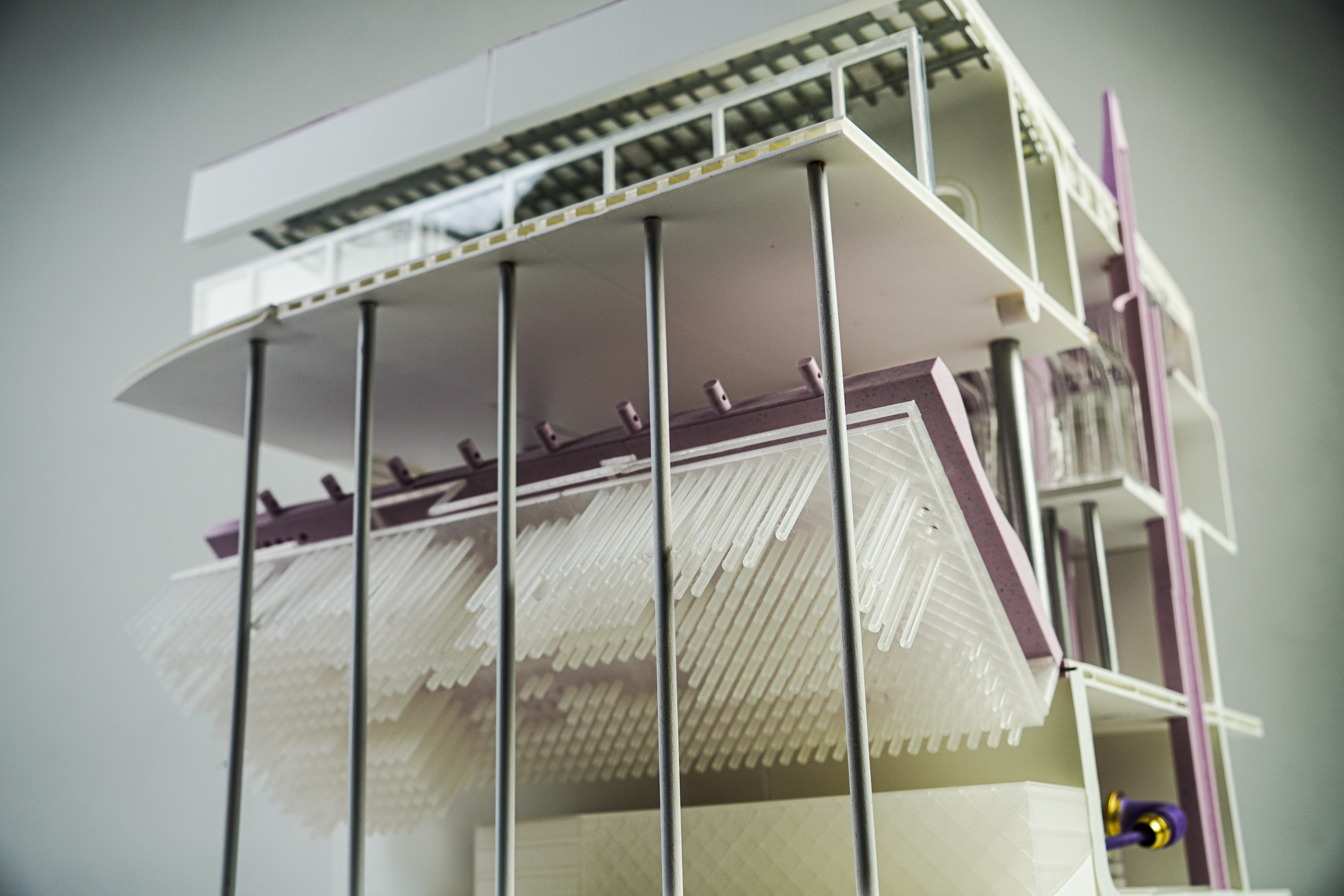
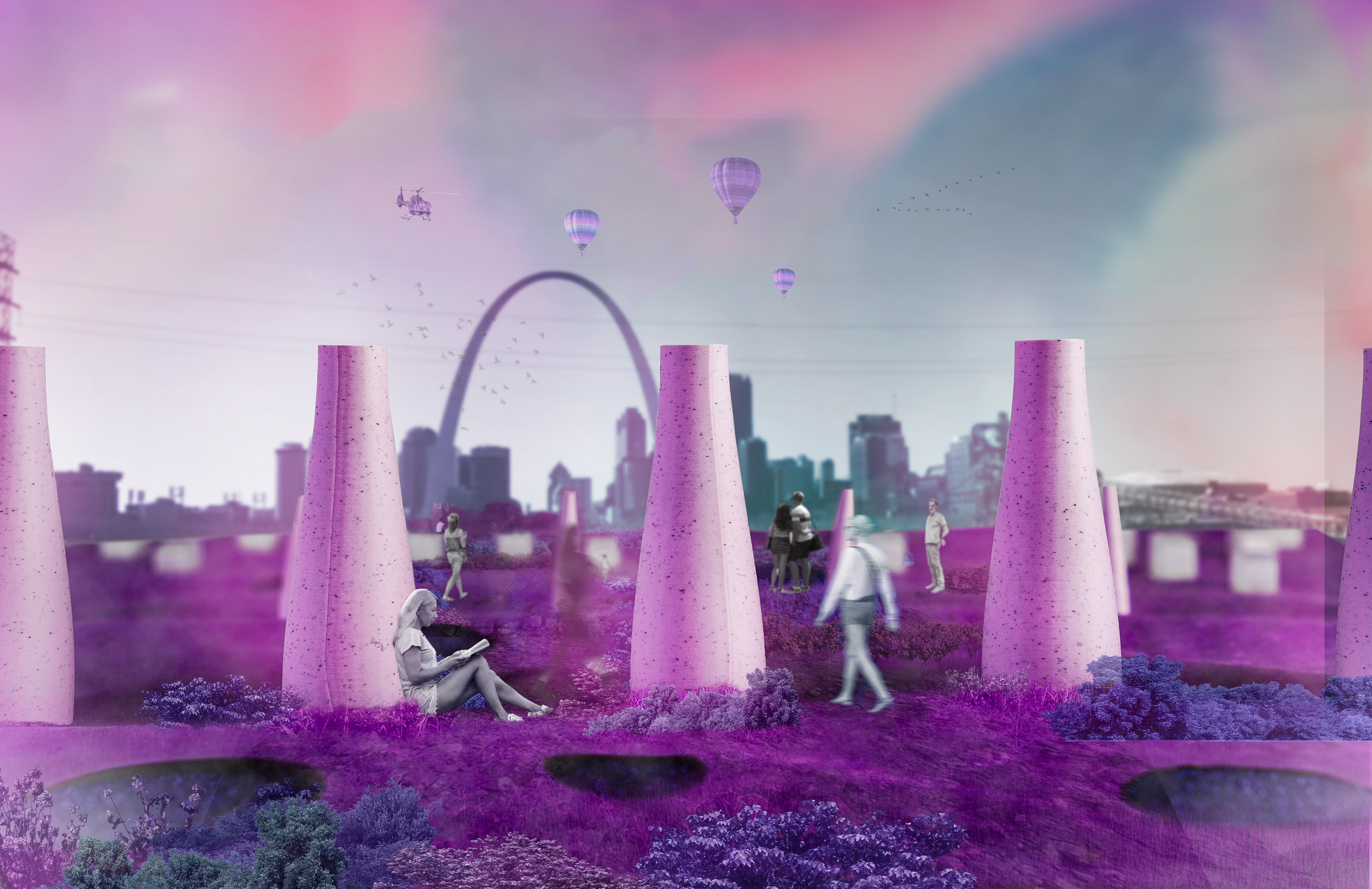
Encompassing a novel flood wall, observation space for the city across the river, roofscape, tram stop, partial sediment process facility and a thin corridor, The Chunk epitomizes what it means to interact and live with infrastructure from the perspective of the urban inhabitant. The purple tones, an ode to the watercolor studies, highlight certain industrial elements: the floodwall, geothermal smokestacks, and water circulation systems.
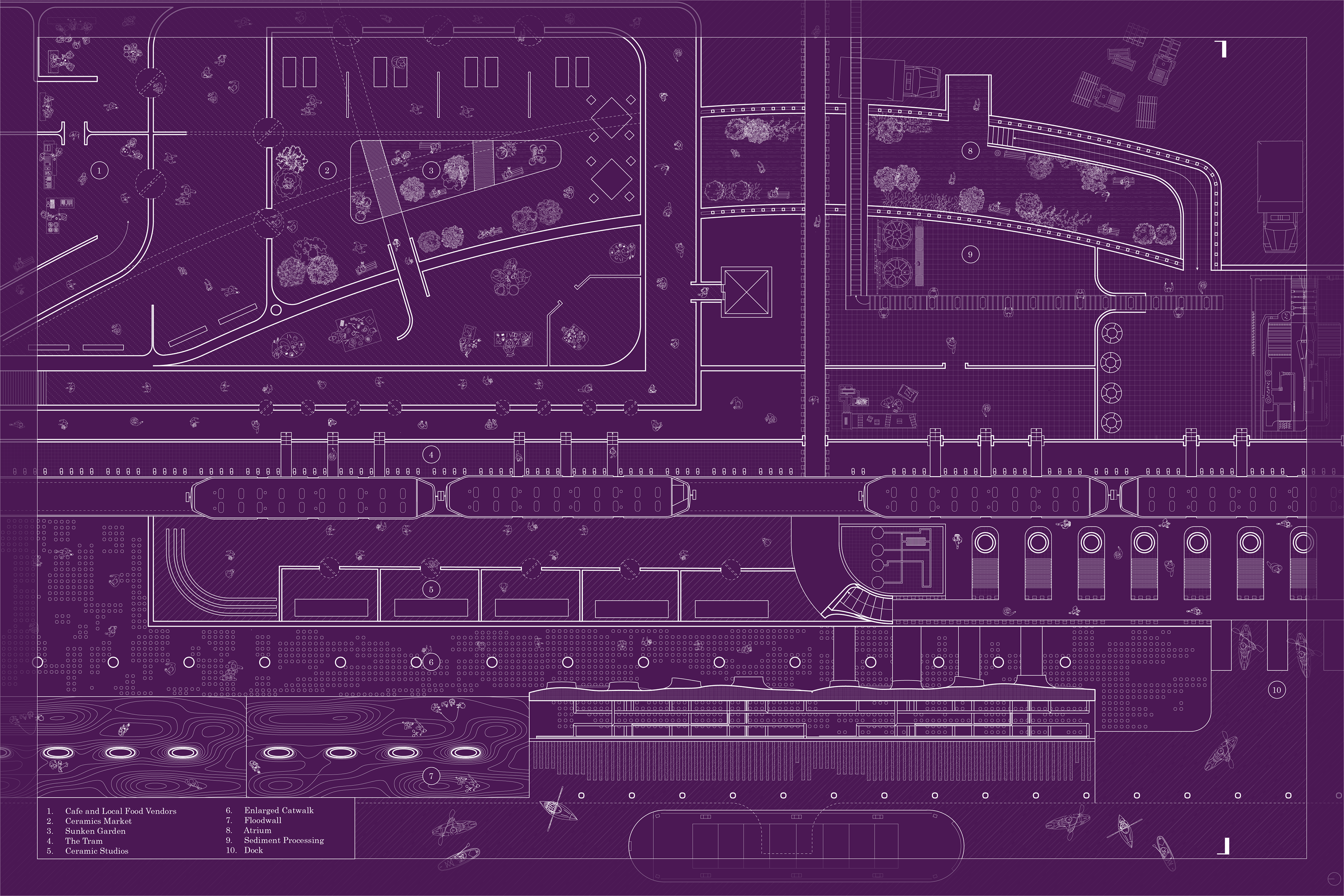
Ground Floor Plan - The Case for Infrastructural Optimism...
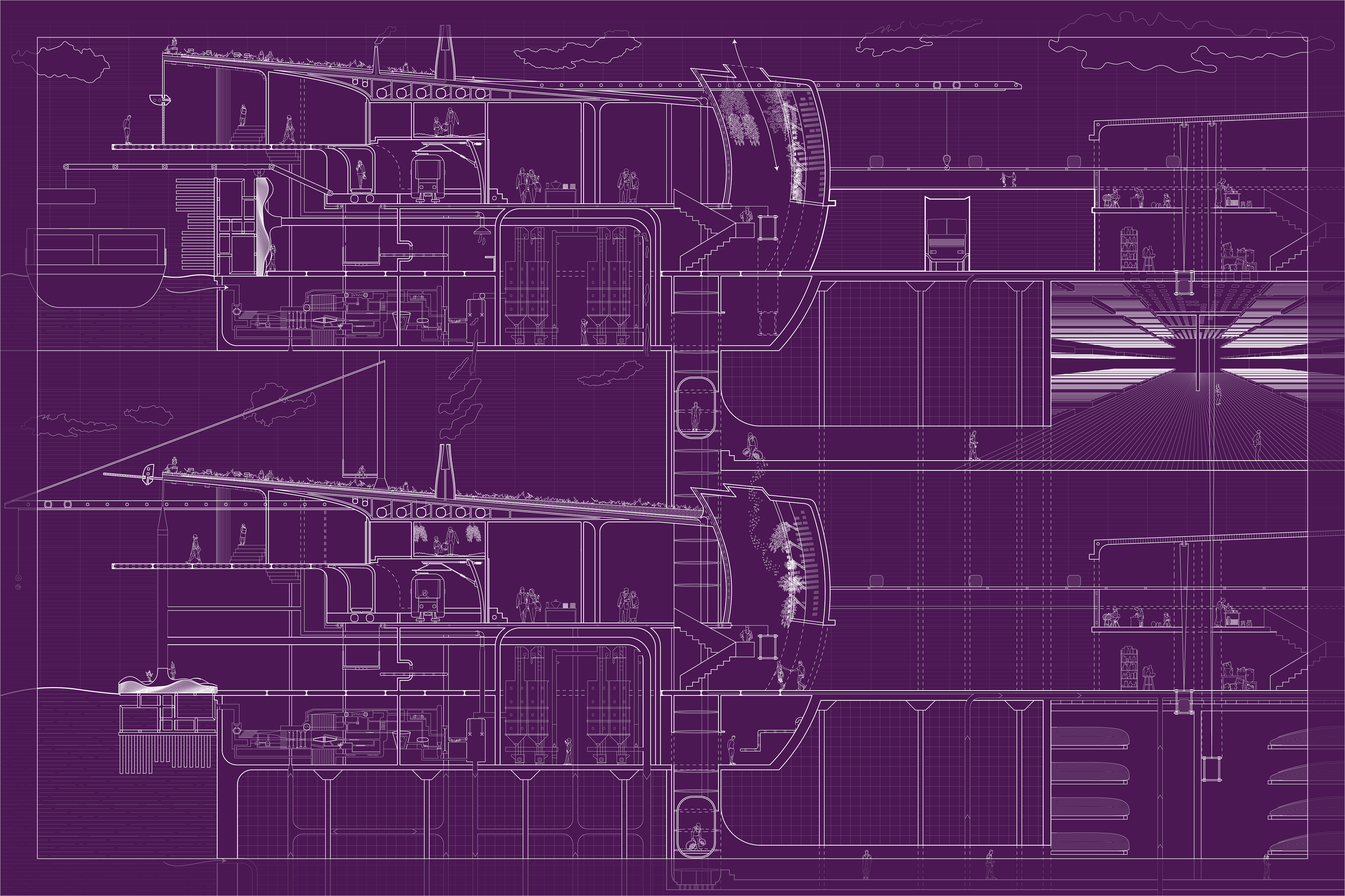
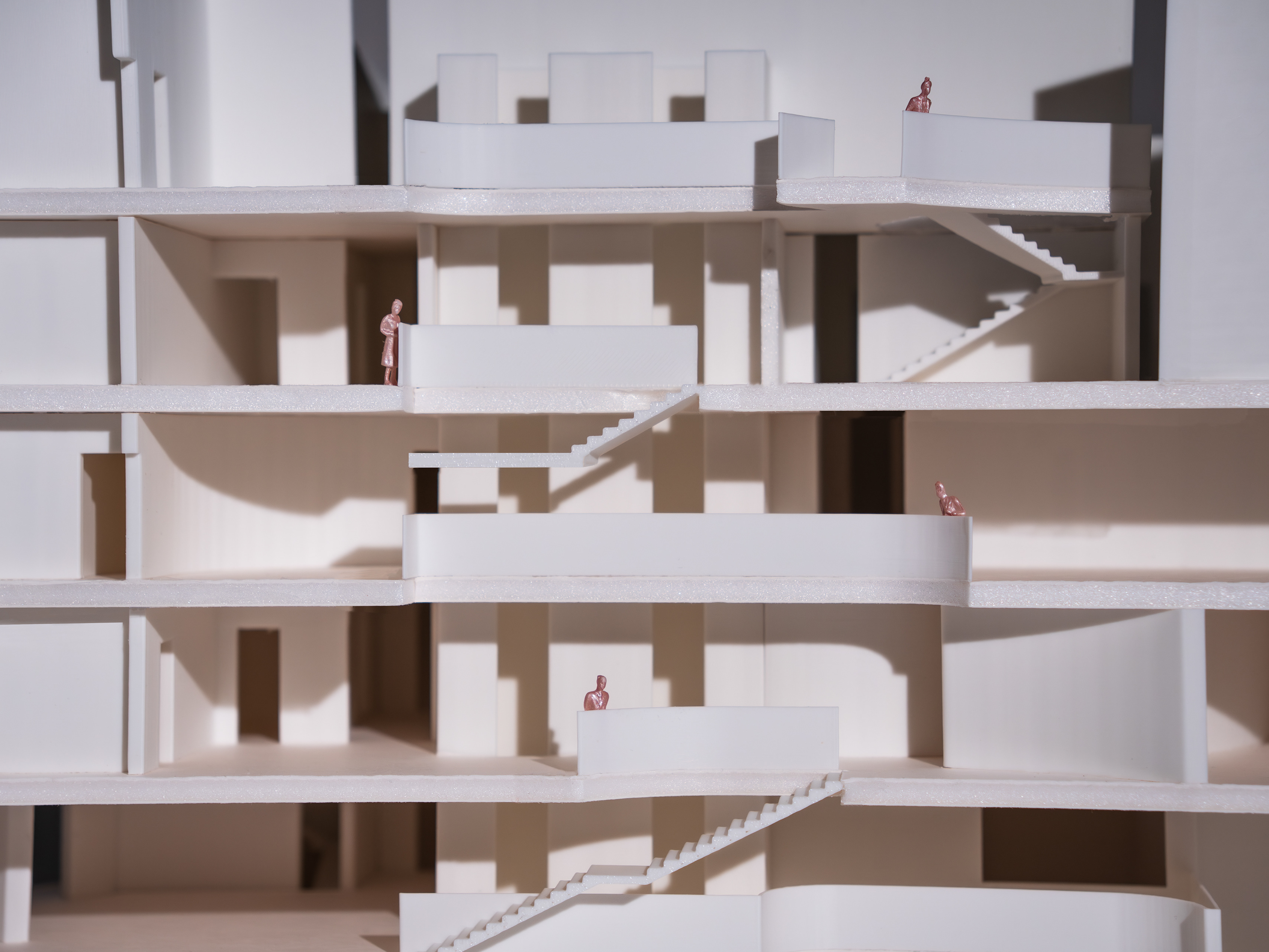
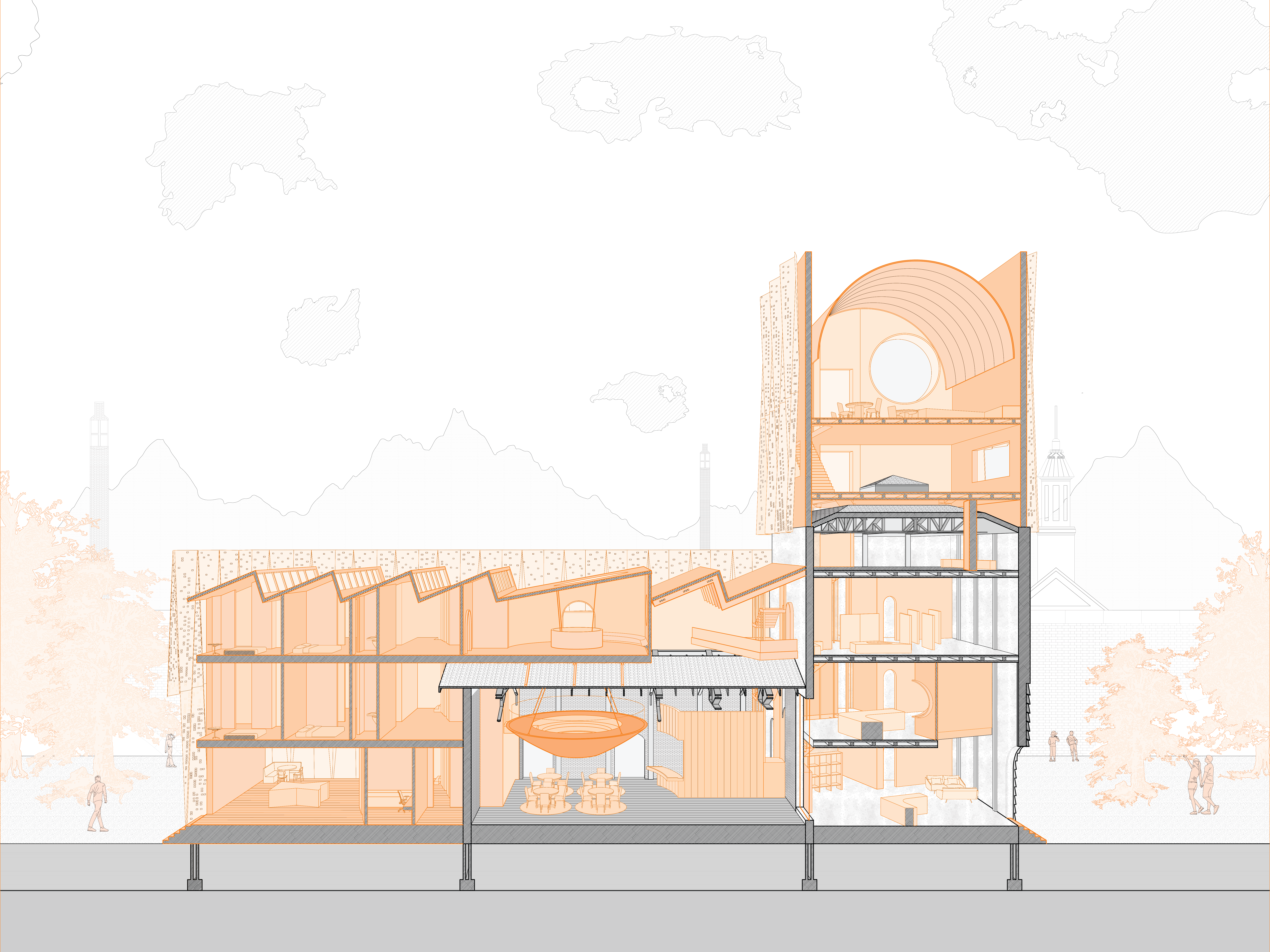
Section AA Phase 1 & Phase 2 - Pre/Post Flood Conditions
Section AA Phase 1.5 - The In-Between Phase
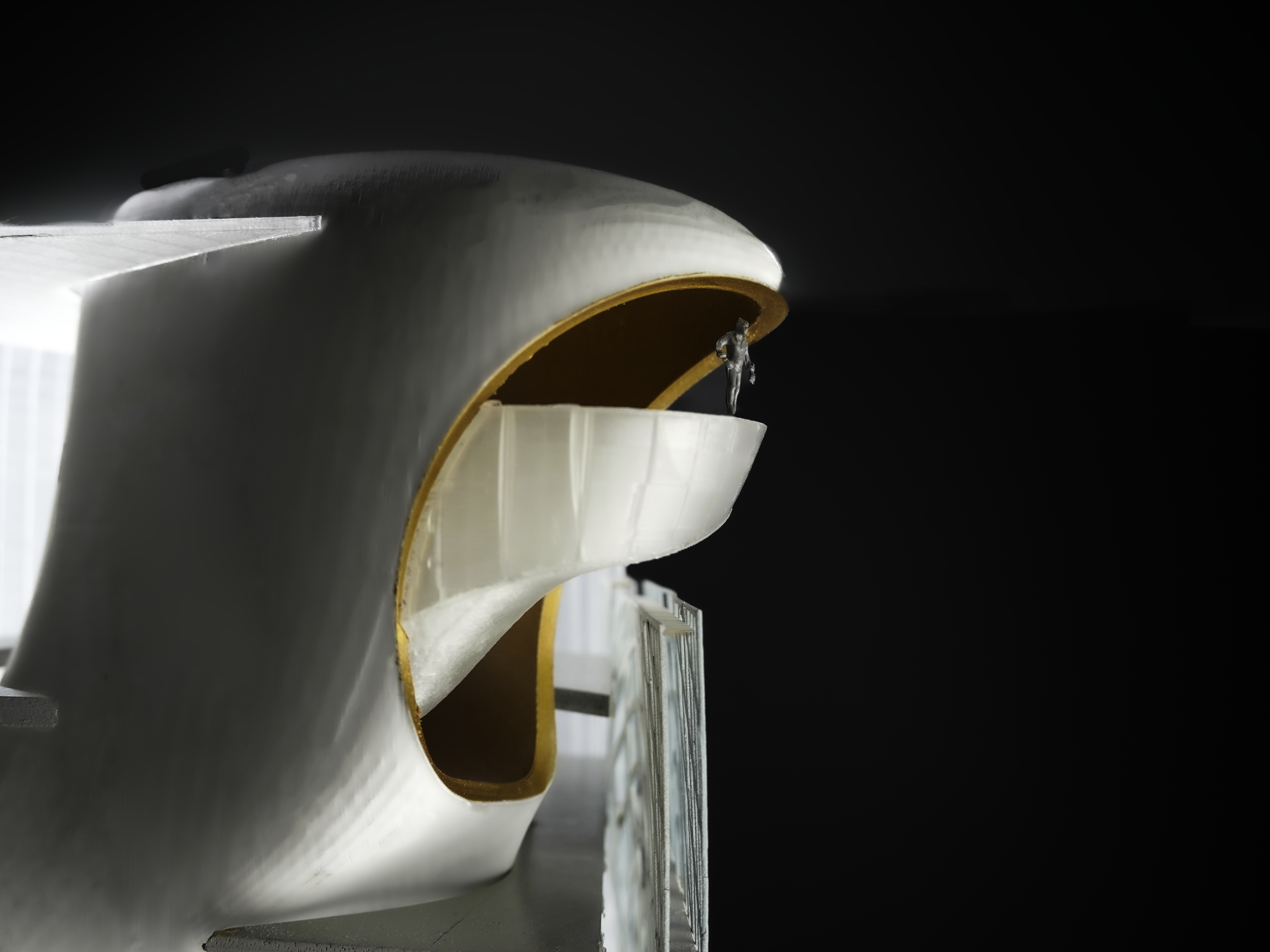
The rotating floodwall epitomizes the infrastructures’ amphibious nature, acting as the liminal condition between robust tectonics and loose adaptability; the river dictates the built condition but also asserts control. Similarly. The project spans various scales, types and temporal dimensions, unleashing the civic and architectural potential of the American Bottom.